October 12, 2022 - Maine Foliage Flight
Atlantic Coast to Wiscasset
|
|
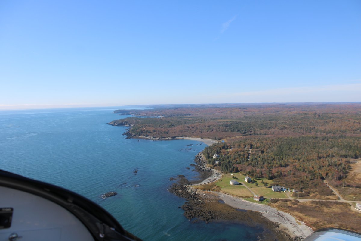
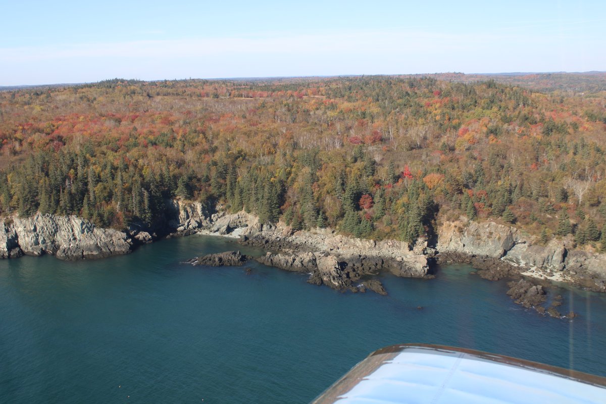
After West Quoddy Head the Maine Coast and I turned southwest. The Gulf of Maine was to the southeast.
This part of the flight was not a foliage flight but a "beauty of the Maine coast" flight.
|
| |
 |
|
|
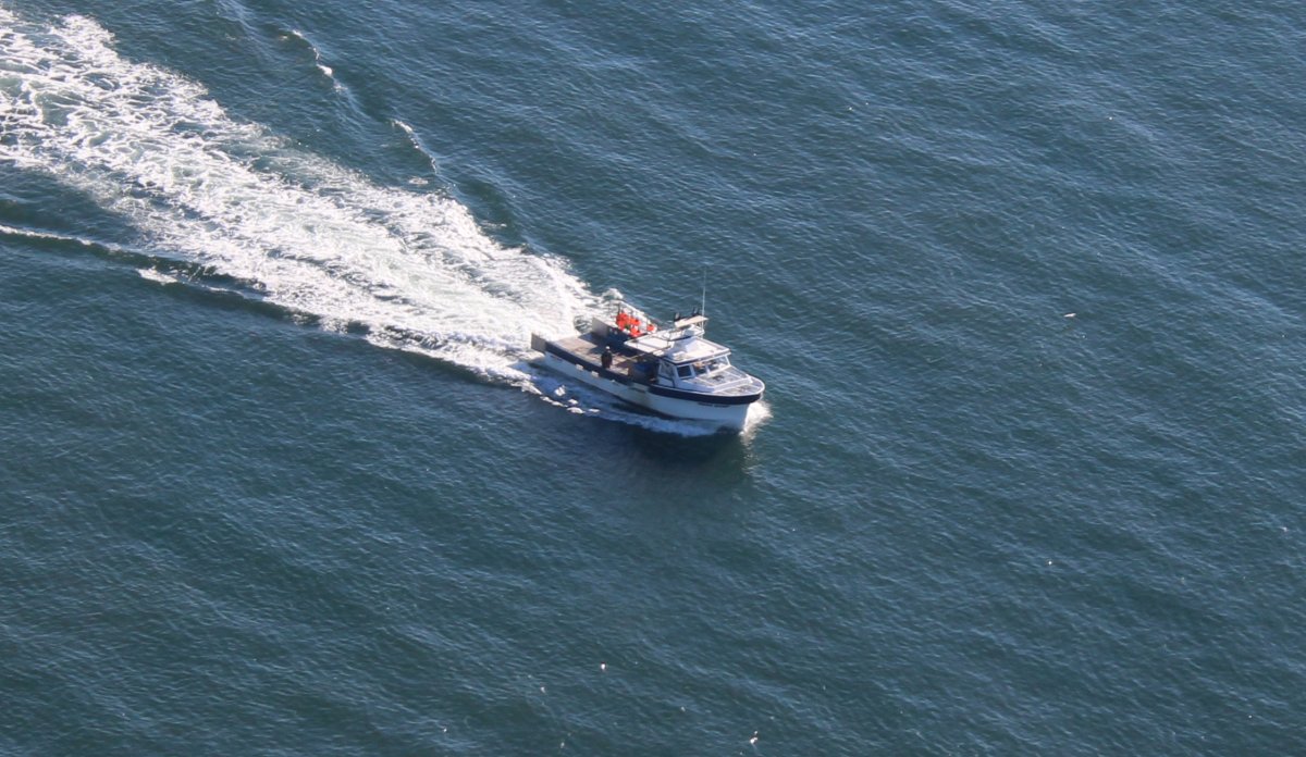
Looking down at a boat also heading southwest.
|
| |
 |
|
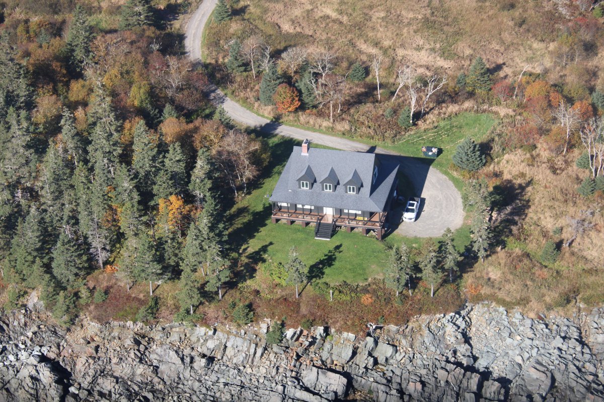
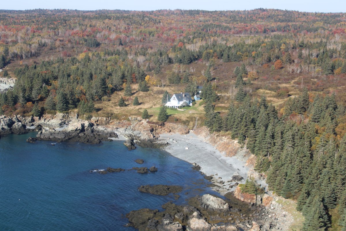
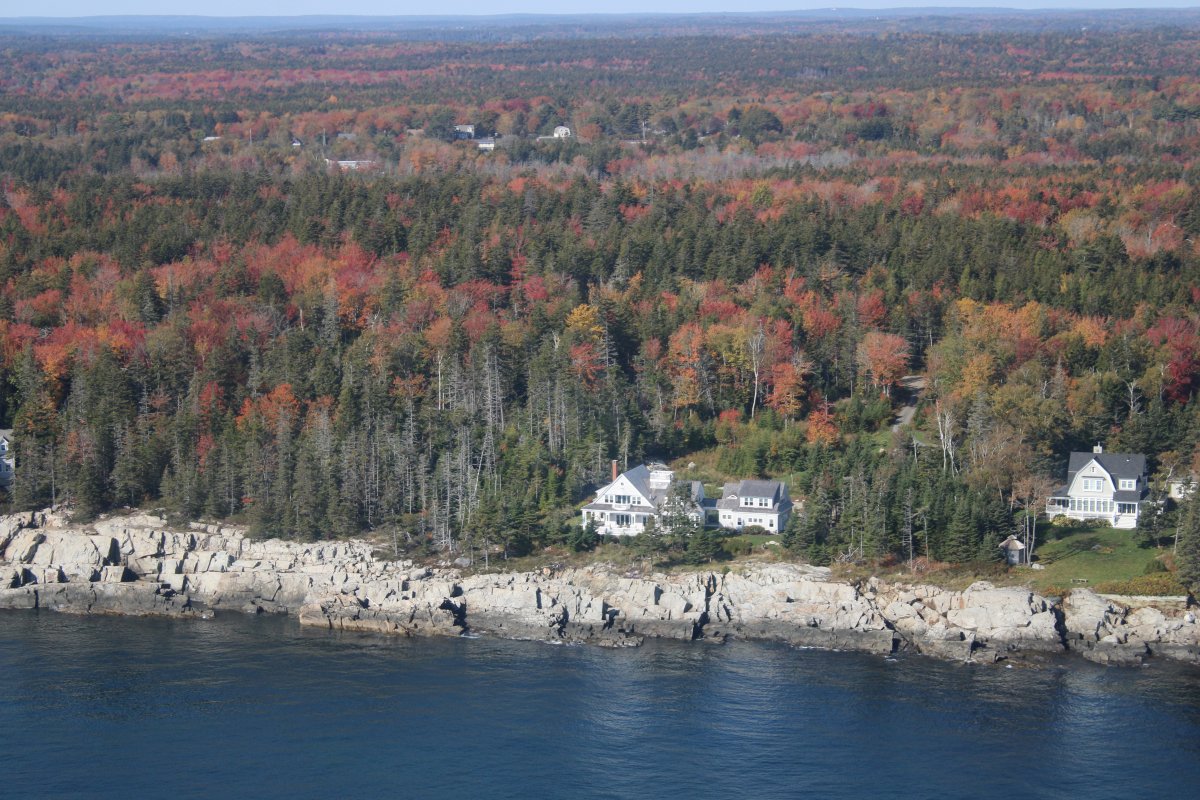
| This house definately is waterfront property. |
| |
 |
|
|
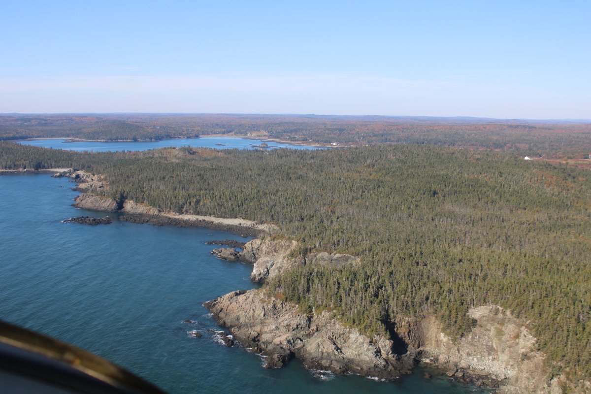
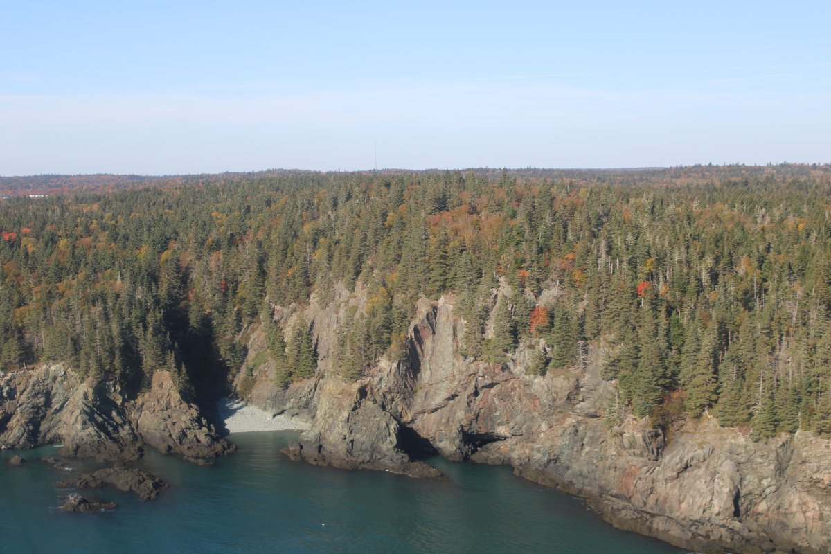
That inlet has the unusual name of Bailey's Mistake.
|
| |
 |
|
| Virgin coast. |
| |
 |
|
| Little House on the Maine Coast. |
| |
 |
|
| Approaching Bog Brook Cove. |
| |
 |
|
|
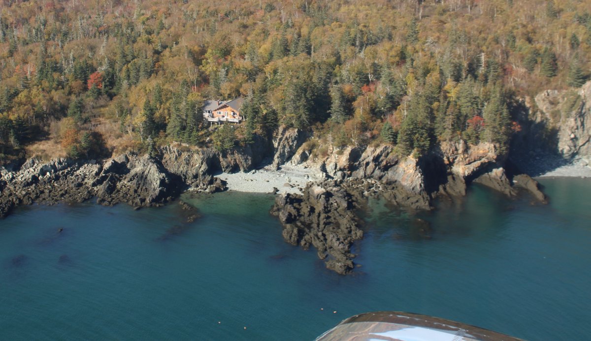
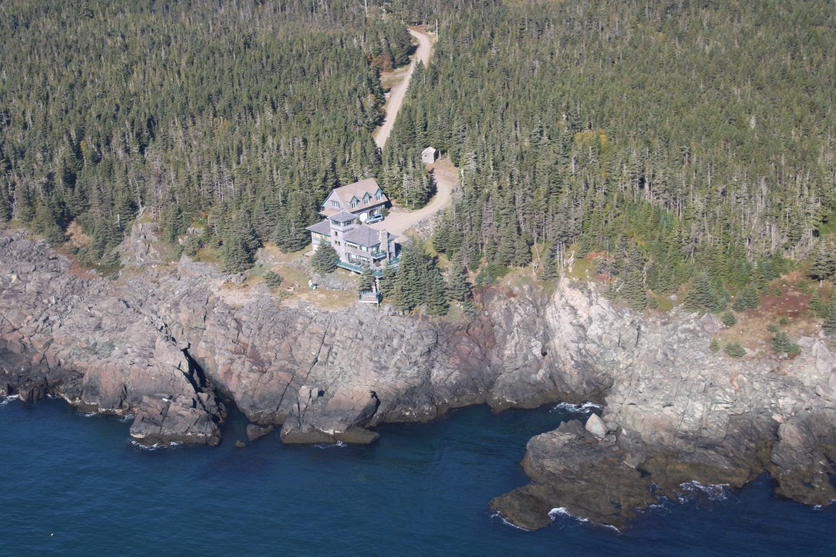
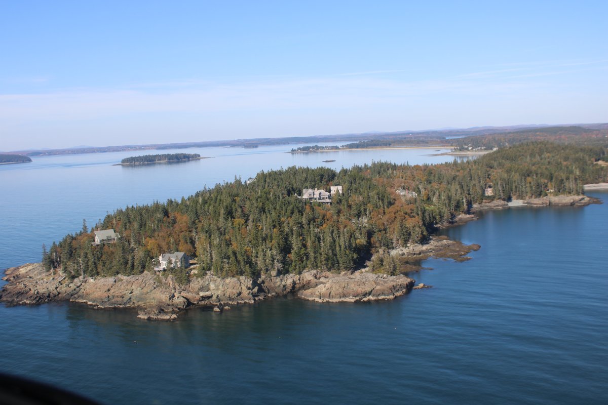
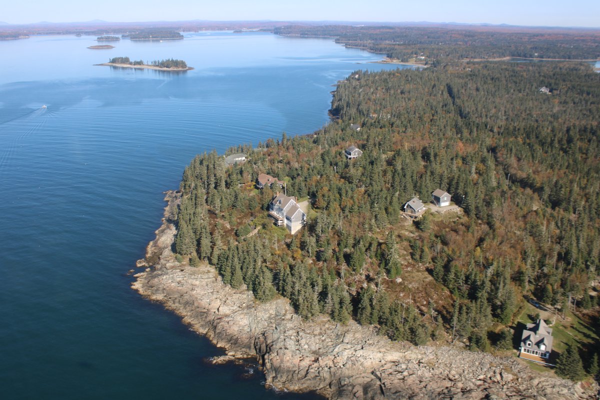
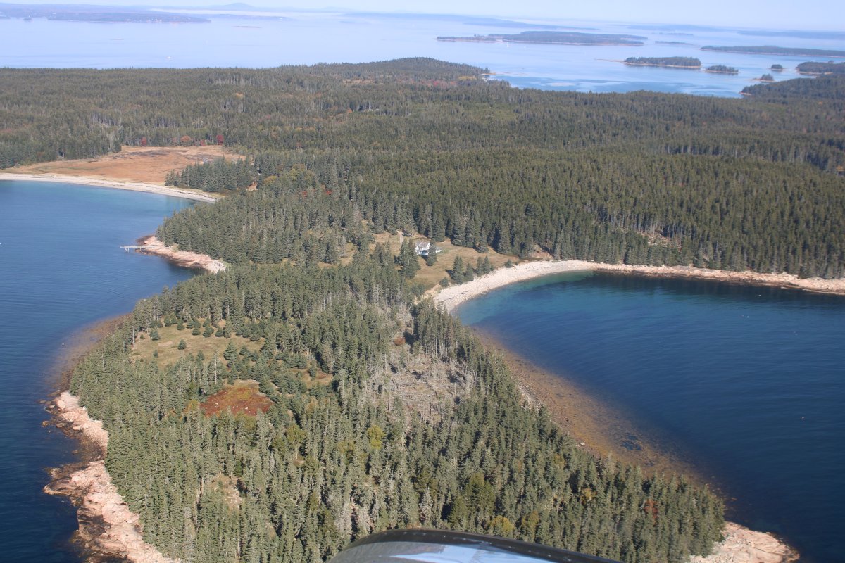
Another remote house on the coast, with its own beach access!
|
| |
 |
|
| Jagged coast. |
| |
 |
|
|
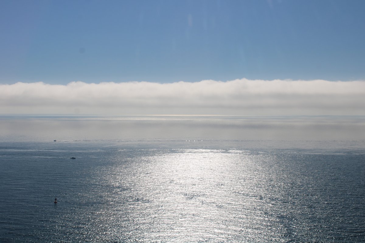
Looking southeast at the Atlantic Ocean. There's a cloud front out there.
|
| |
 |
|
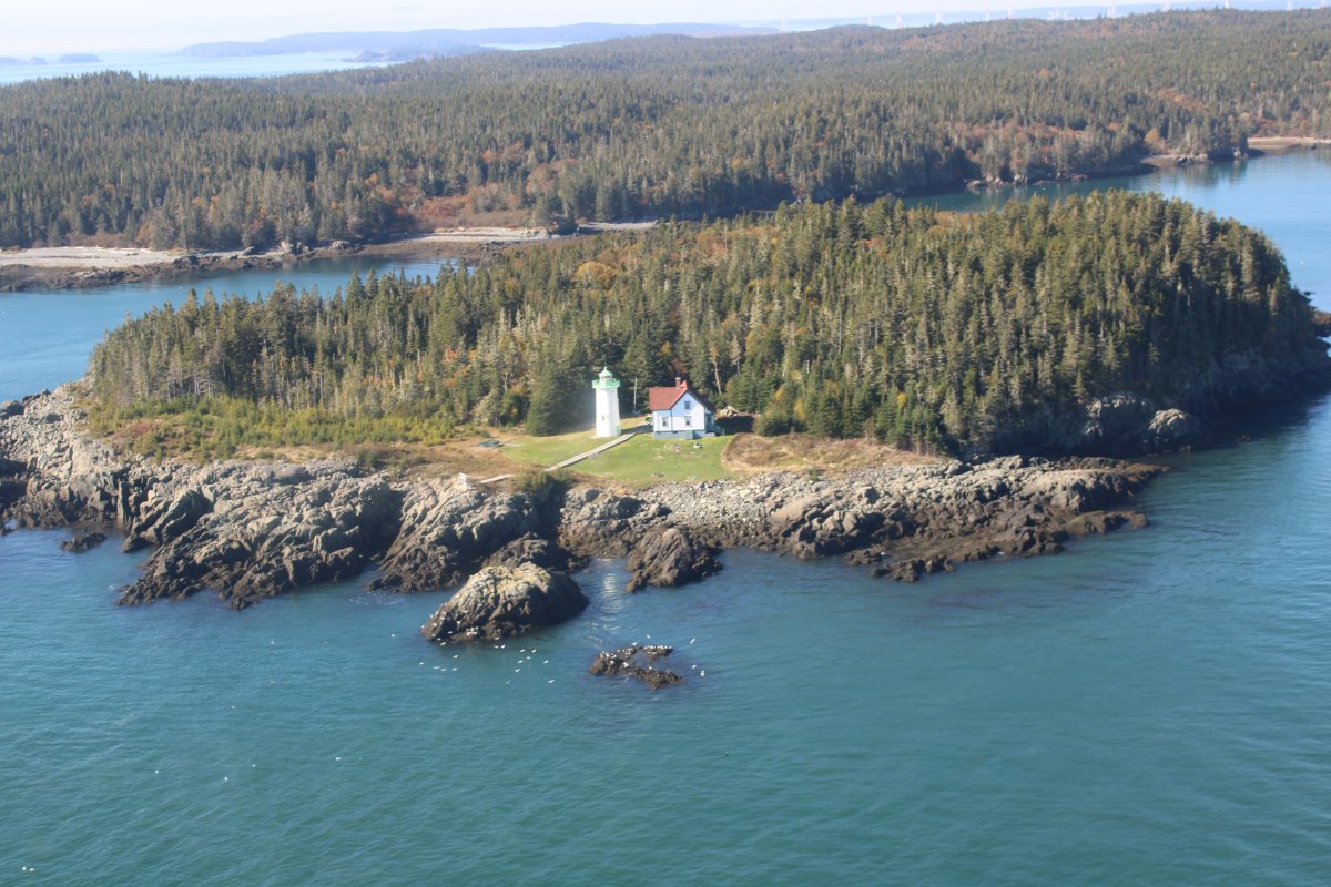
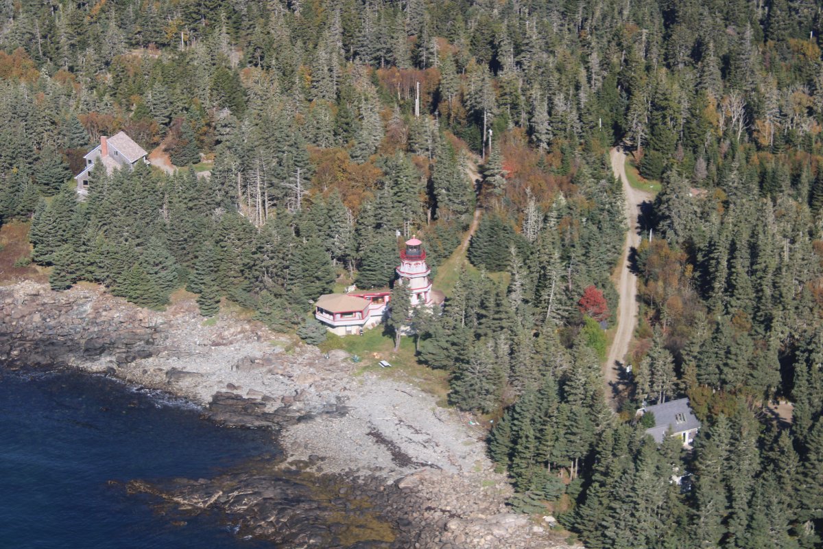
| Little River Lighthouse which, although hard to tell in this picture, is on an island. |
| |
 |
|
| |
| |
 |
|
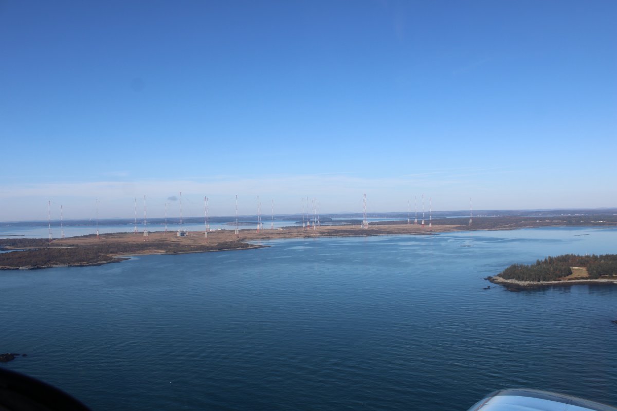
| I began noticing up ahead the most large towers I have ever seen in one place. It turns out it is Cutler Naval Station which supports a very low frequency (VLF) shore radio station. The station provides one-way communication to submarines in the Navy's Atlantic Fleet, both on the surface and submerged. It transmits with call sign NAA, at a frequency of 24 kHz and input power of up to 1.8 megawatts, and is one of the most powerful radio transmitters in the world. |
| |
 |
|
|
I vaguely remember hearing about this facility.
|
| |
 |
|
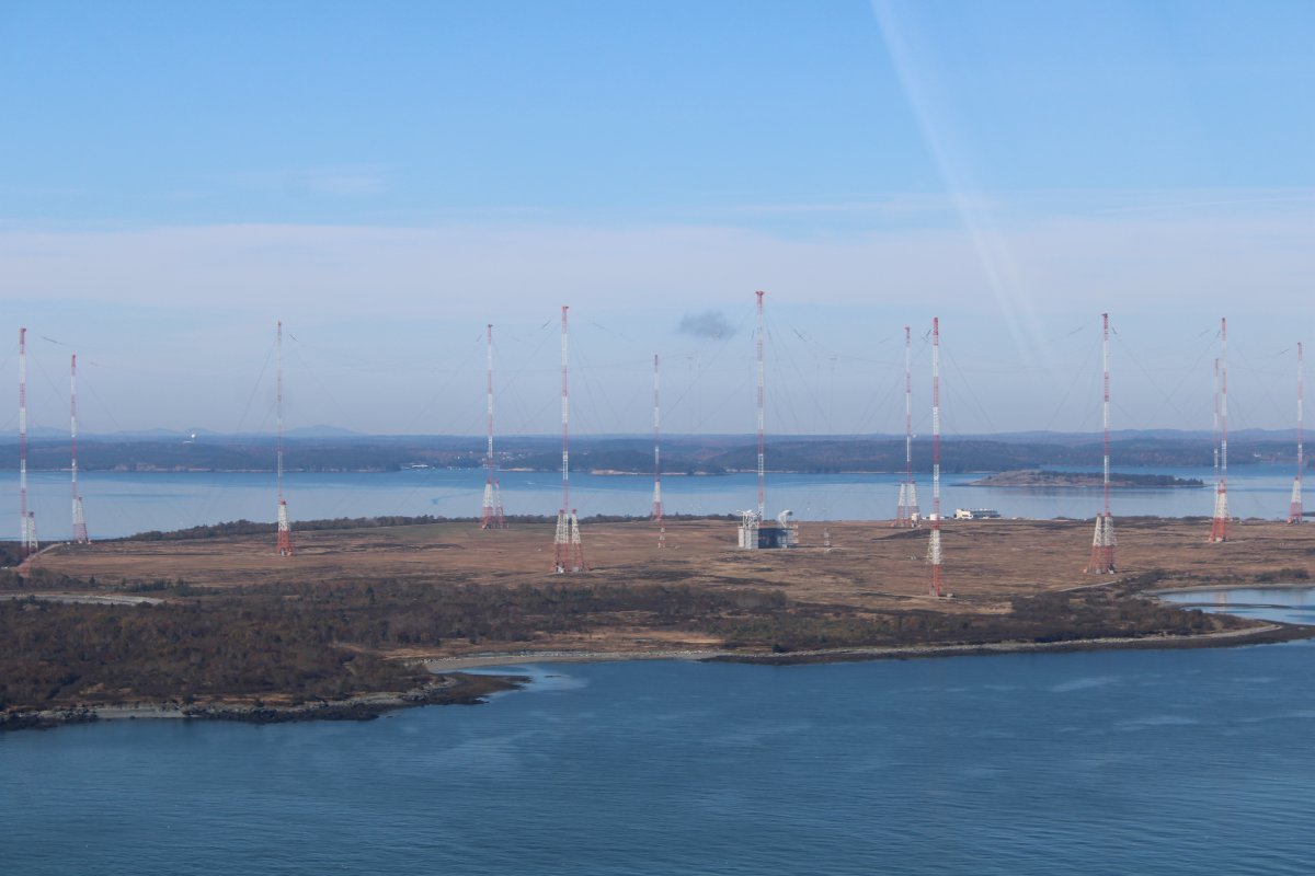
| I would not recommend flying through that array of towers, which are criss-crossed by supporting wires. |
| |
 |
|
|
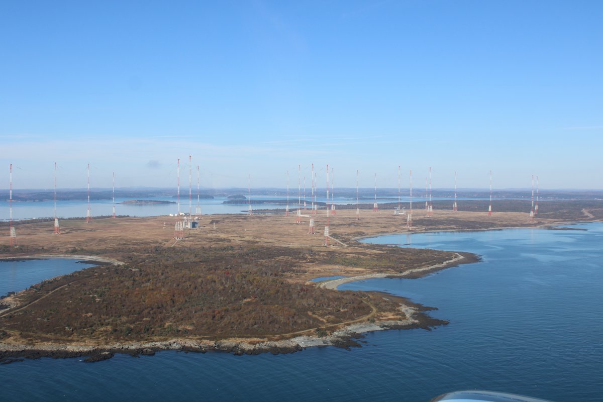
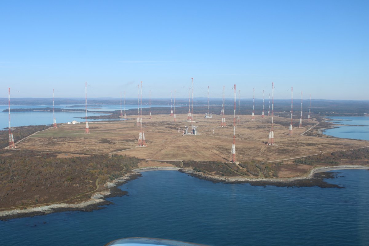
Looking down from above, the towers are arranged in two stars.
Pretty cool; never seen anything like it.
|
| |
 |
|
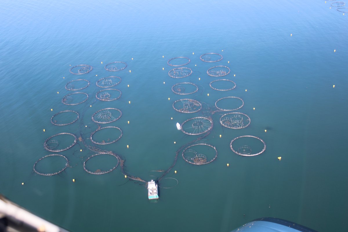
| I'm not sure what these are for. To catch lobsters? Something else? |
| |
 |
|
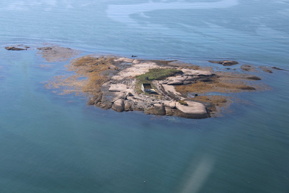
| Some islands have houses. |
| |
 |
|
| Some don't. |
| |
 |
|
|
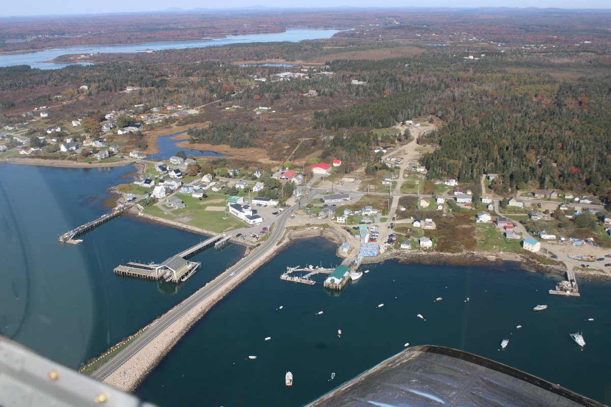
Passing over the bridge to Beals Island.
|
| |
 |
|
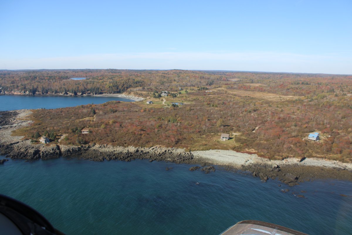
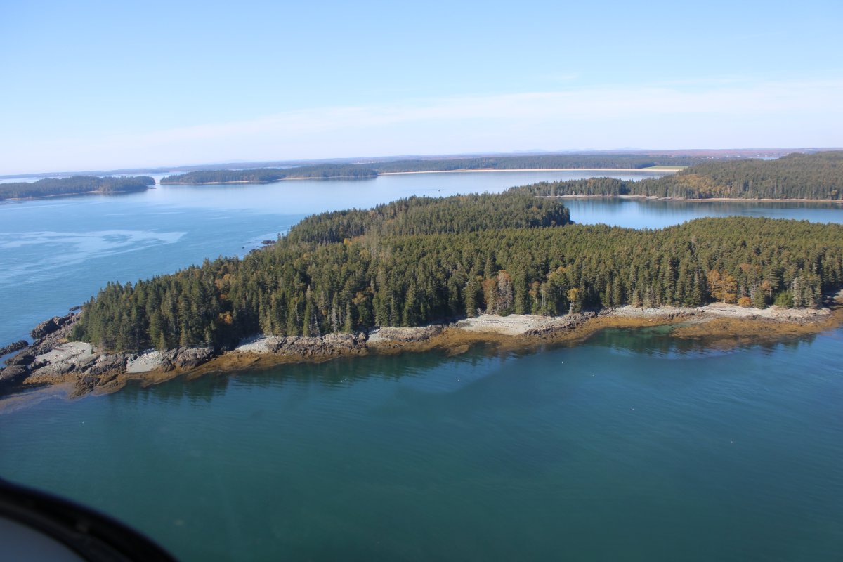
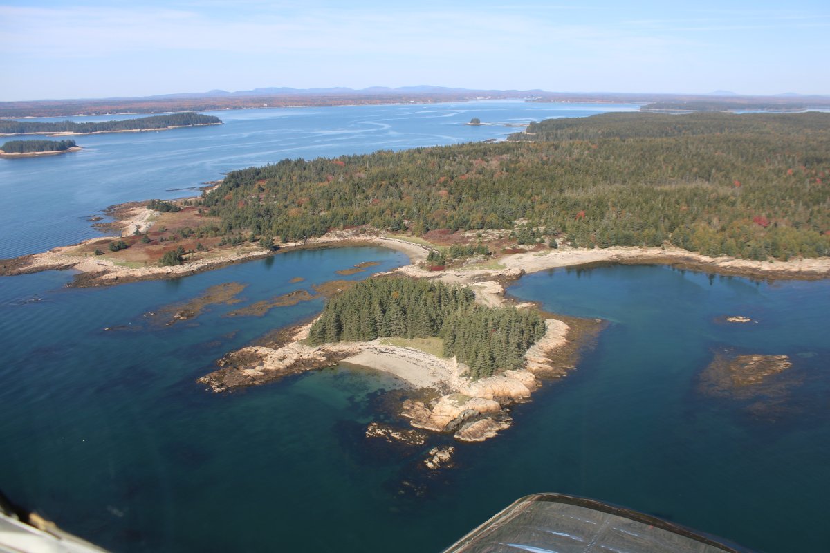
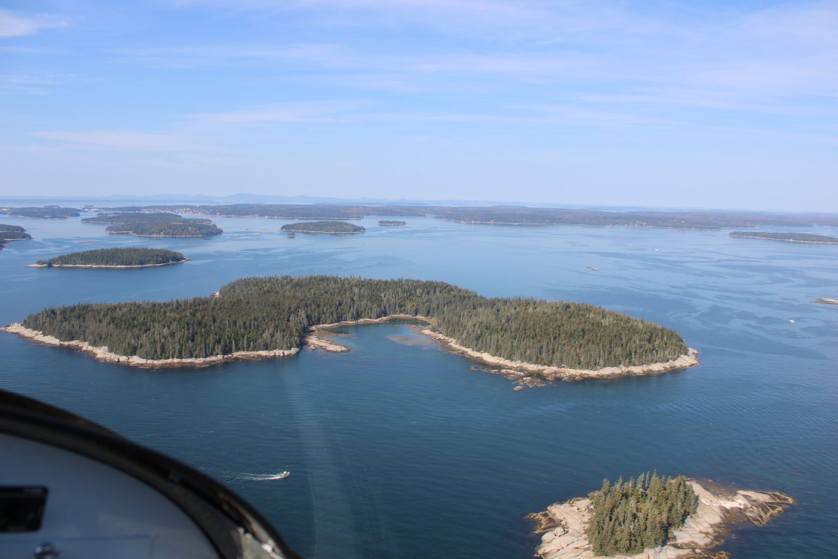
| Lots of islands on Maine's jagged coastline. |
| |
 |
|
|
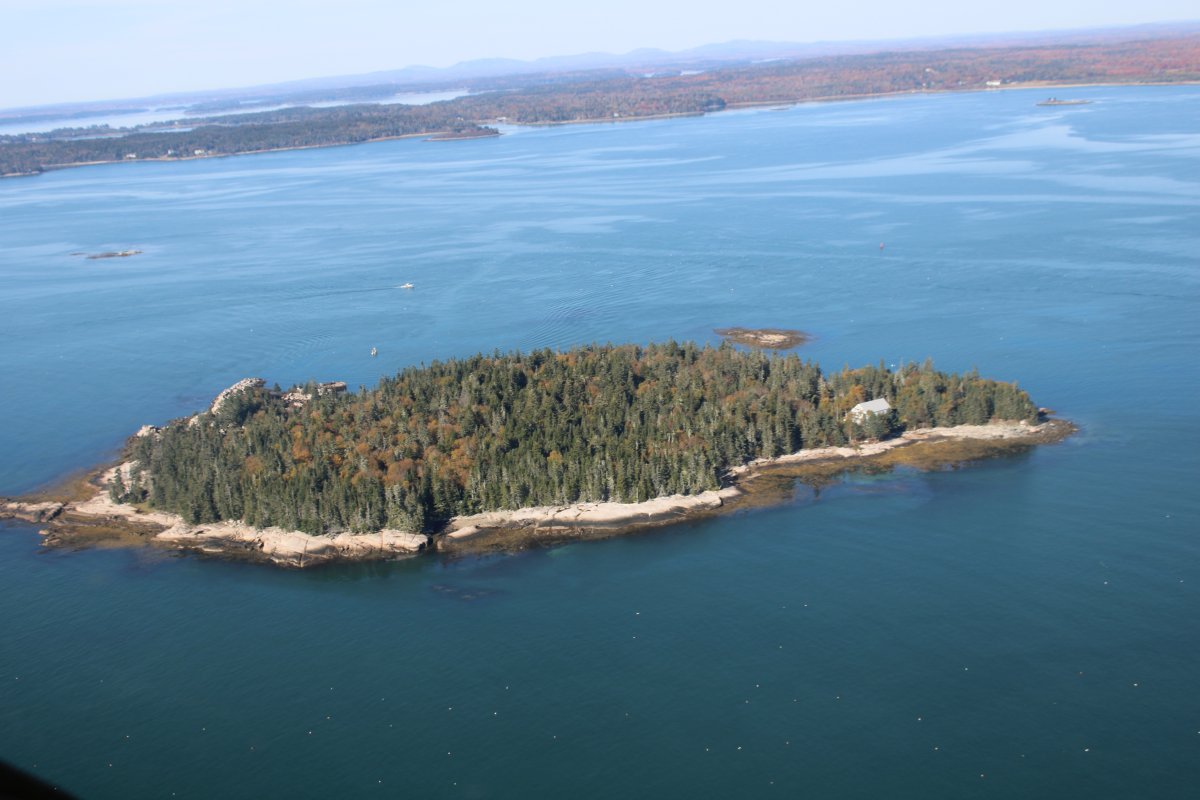
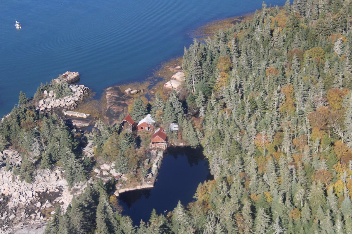
An old abandoned homestead.
|
| |
 |
|
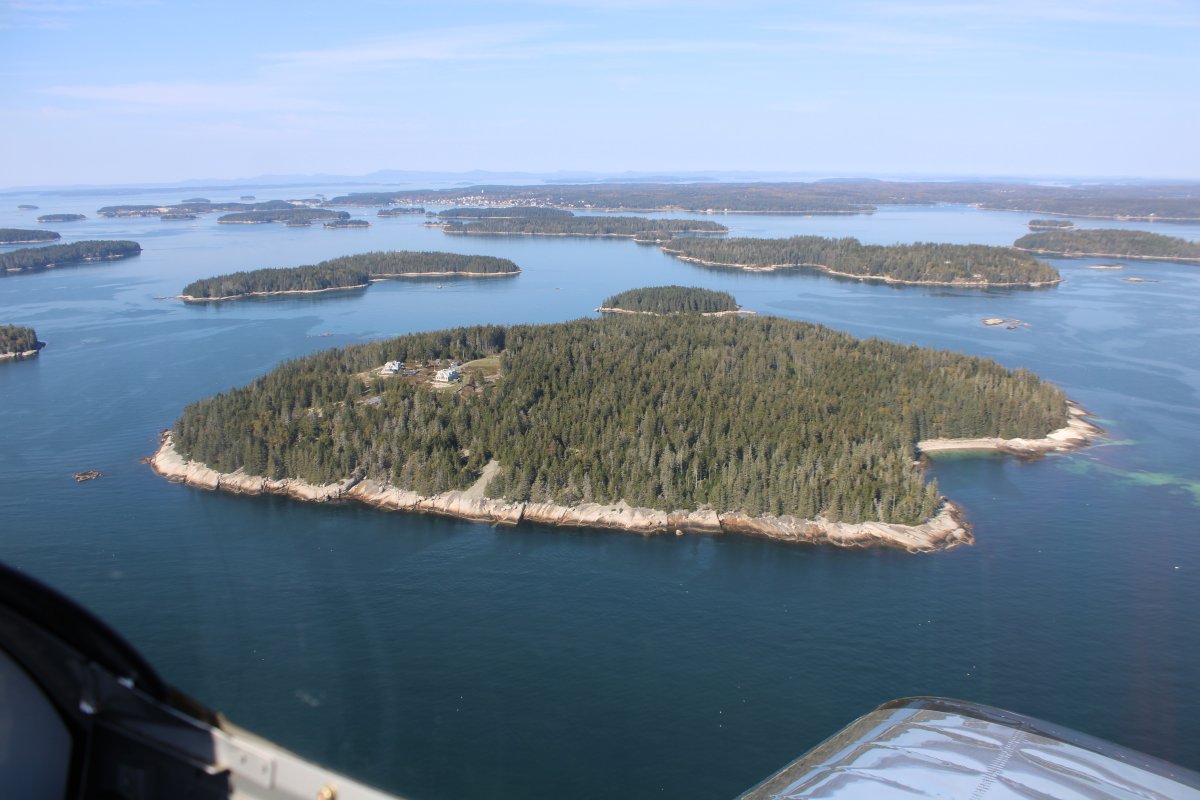
| This guy has got the island all to himself. |
| |
 |
|
|
Unusual faux-lighthouse house.
|
| |
 |
|
| |
| |
 |
|
| Looking at Narragaugus Bay. |
| |
 |
|
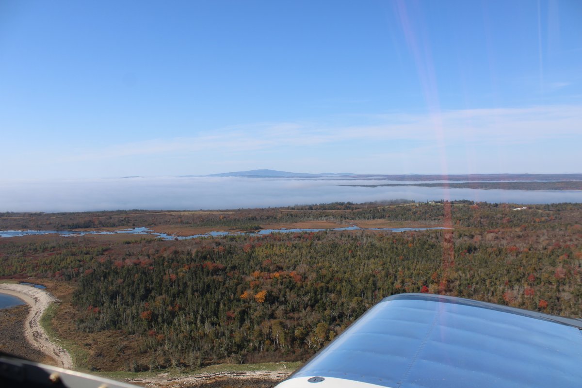
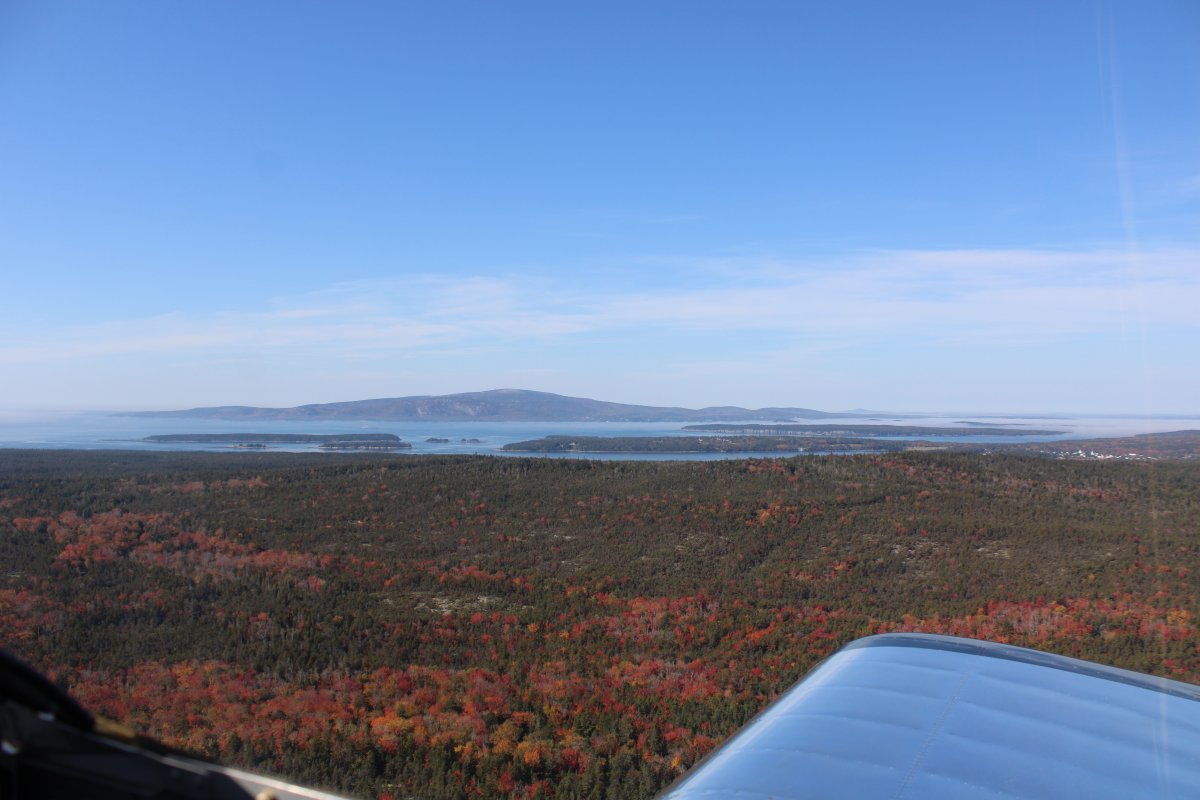
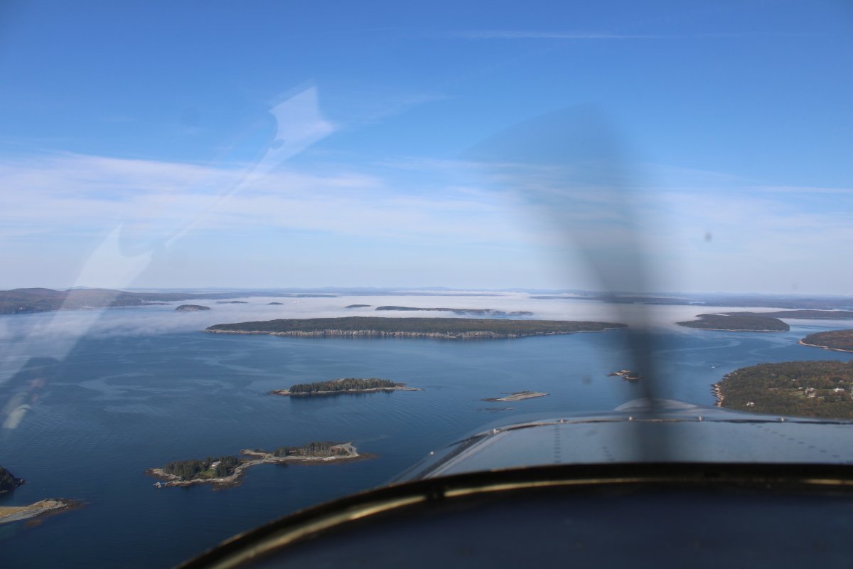
| Cadillac Mountain in Acadia National Park is visible in the distance. Tallest mountain on the Atlantic Coast. Some ground fog in between though. |
| |
 |
|
|
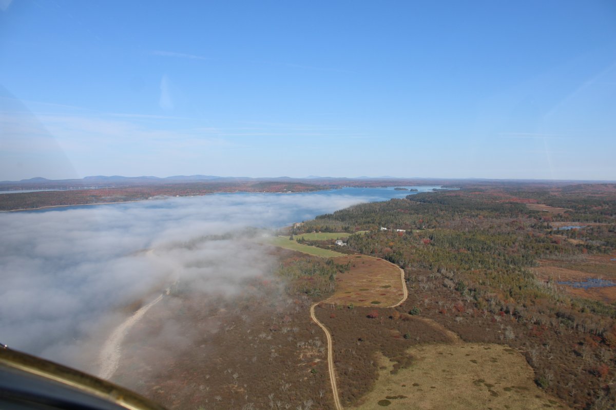
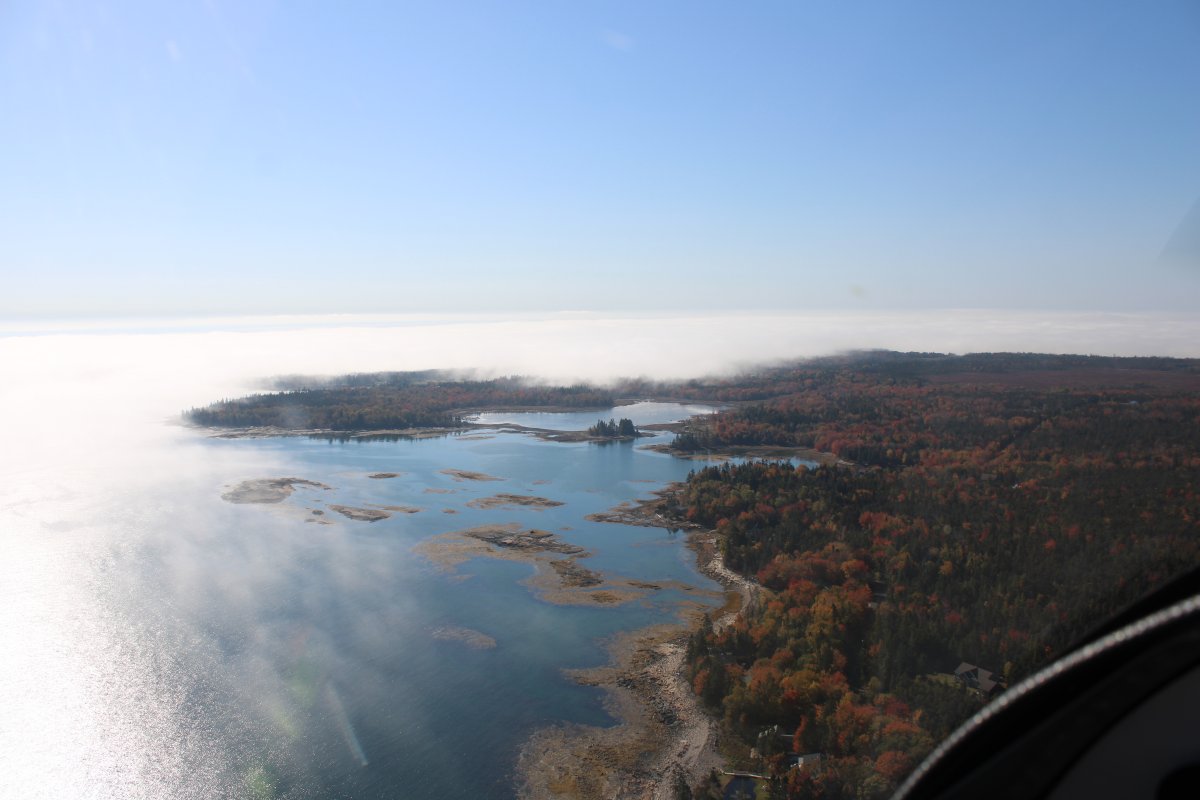
Looking north up Dyer Bay, one of many bays around here.
|
| |
 |
|
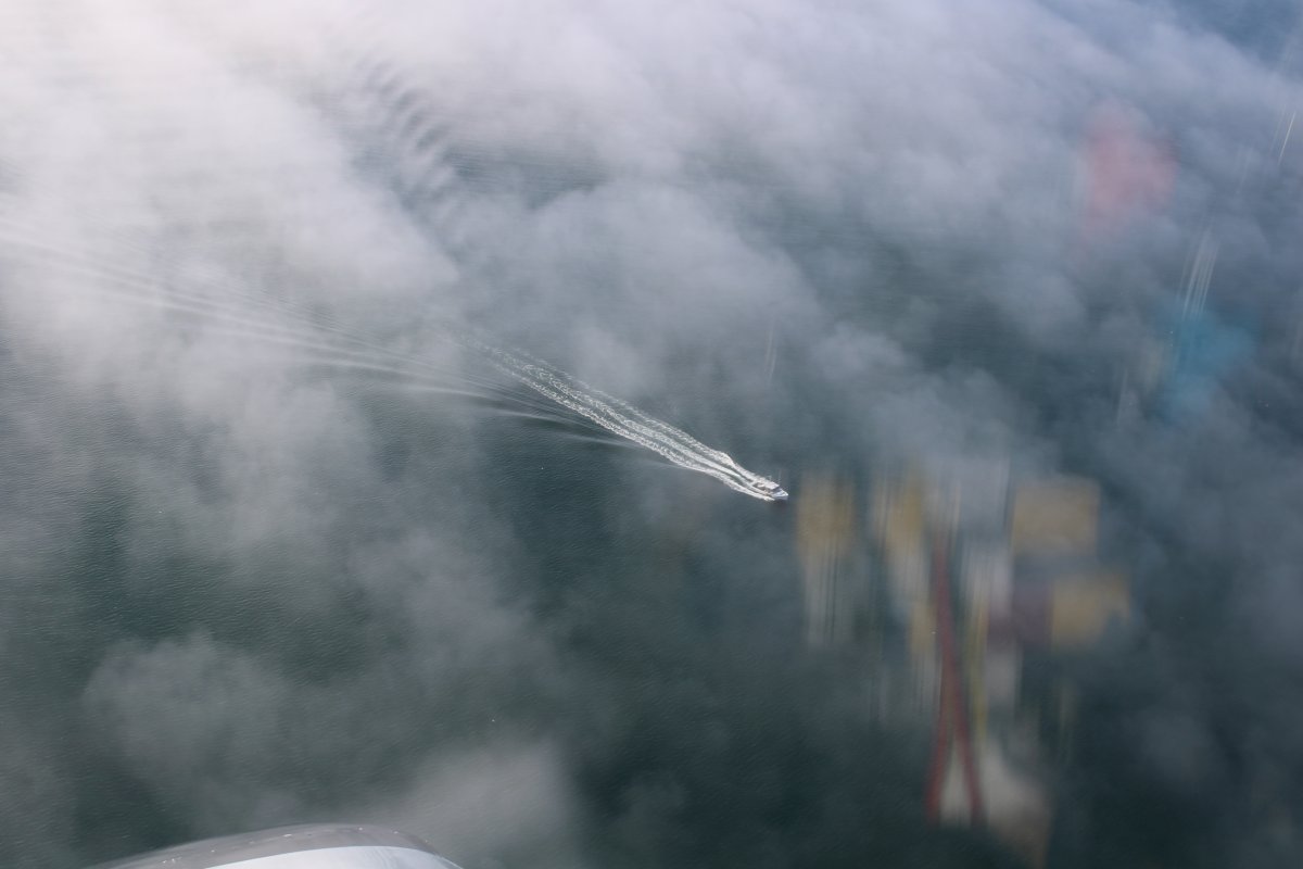
| A boat cruises under the whispy fog. |
| |
 |
|
|
|
| |
 |
|
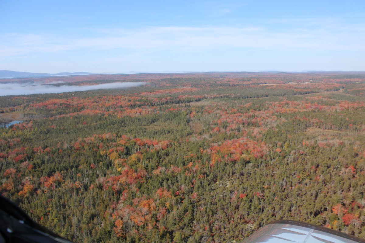
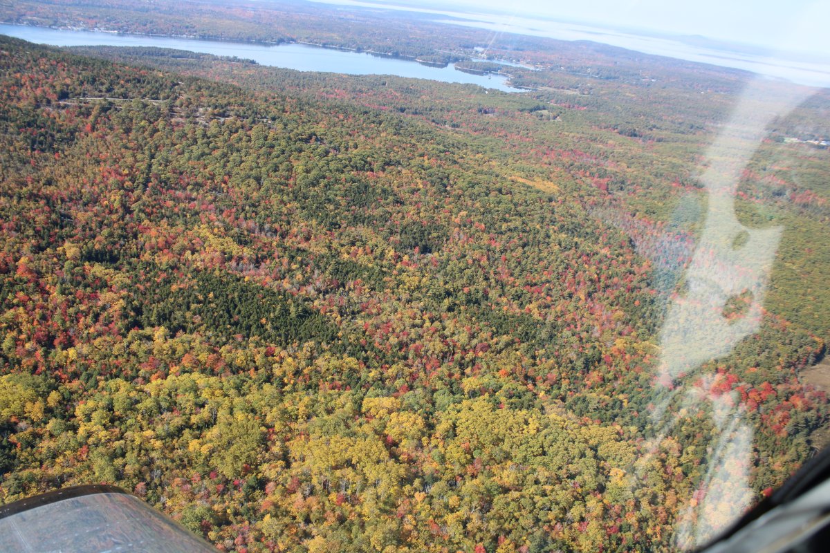
| Passing over Schoodic Woods. There's some color down there but mostly it is evergreens. |
| |
 |
|
| Cadillac Mountain gets closer. |
| |
 |
|
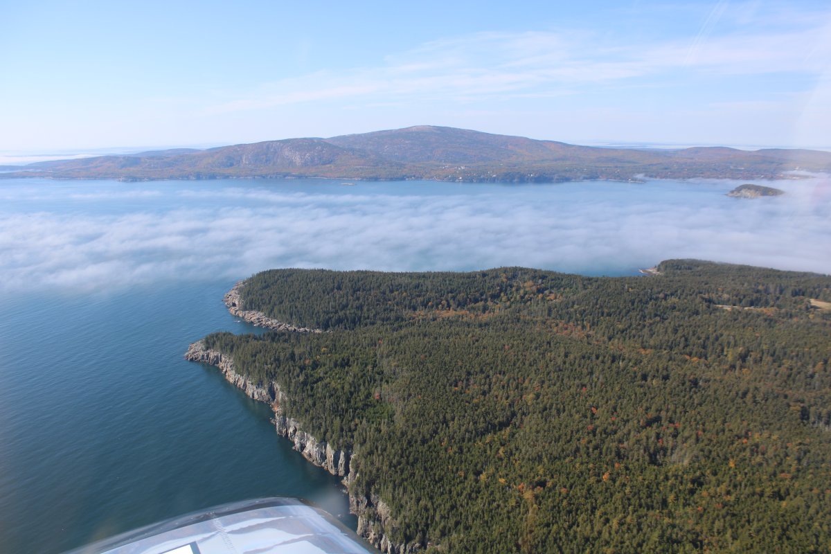
| Cruising northwest up the large Frenchman Bay. |
| |
 |
|
|
Looking southwest at Cacillac Mountain.
|
| |
 |
|
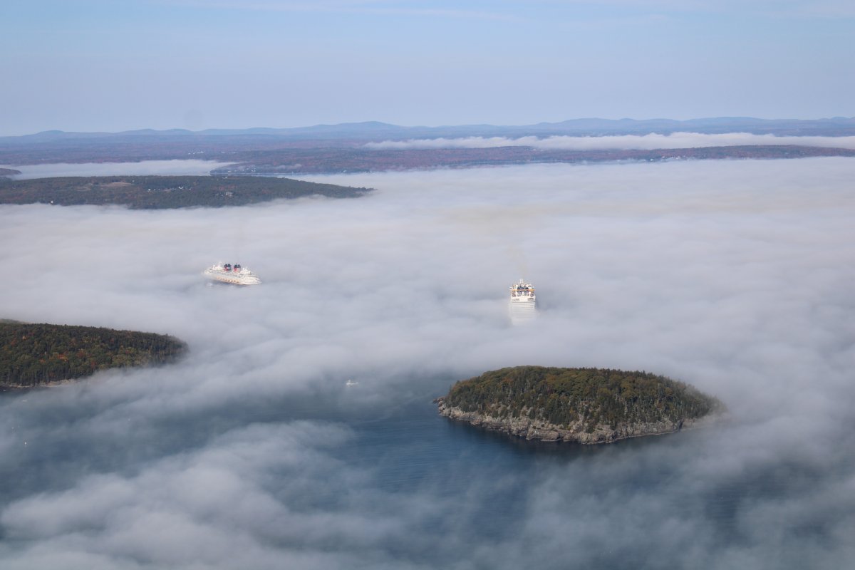
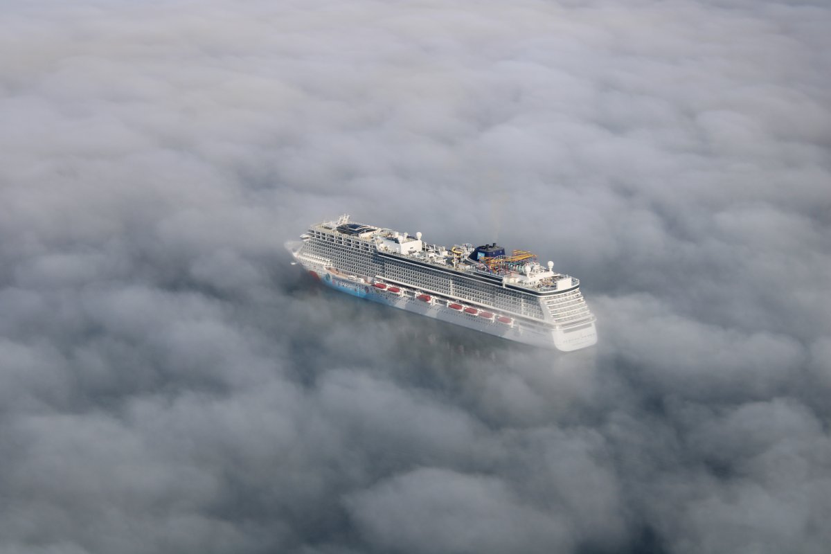
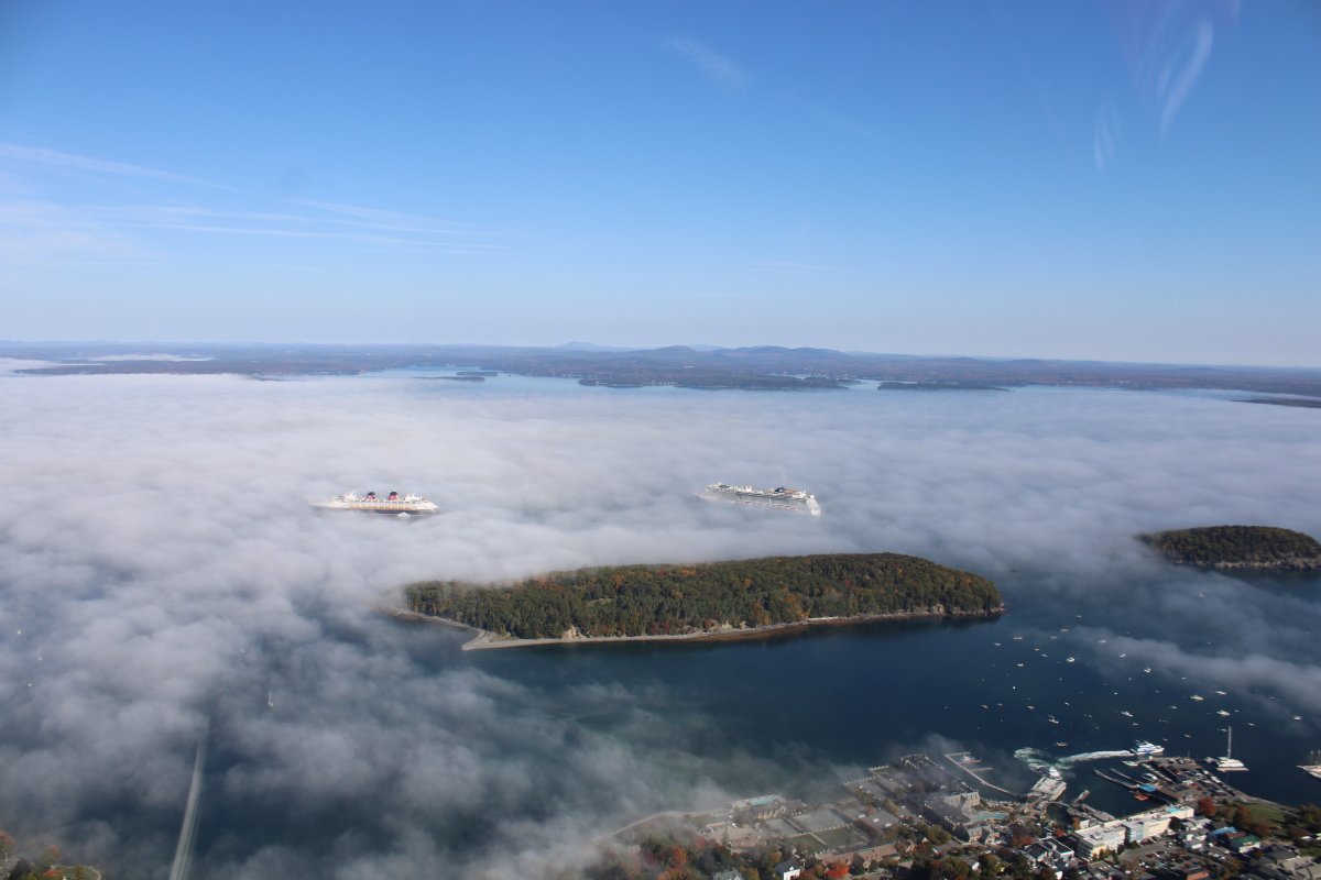
| I saw these two white objects in the fog off Bar Harbor a long way off and could not figure out what they were. So naturally I had to go check them out. Finally they revealed themselves: two big cruise boats. |
| |
 |
|
|
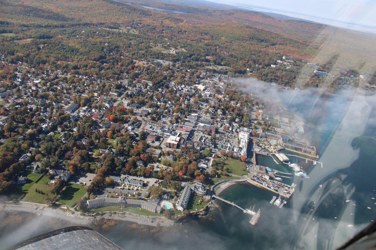
Bar Harbor is a resort town on Mount Desert Island in Hancock County, Maine. As of the 2020 census, its population is 5,089. During the summer and fall seasons, it is a popular tourist destination and, until a catastrophic fire in 1947, the town was a noted summer colony for the wealthy. Bar Harbor is also home to the largest parts of Acadia National Park, including Cadillac Mountain, the highest point within 25 miles of the coastline of the eastern United States.
|
| |
 |
|
| Look, a cruise boat floating among the clouds. |
| |
 |
|
| It was surreal how they emerged from the fog. |
| |
 |
|
|
OK, it's time to check out Acadia National Park. I've heard of it many times but never seen it. This is the day.
Actually, the park encompasses about half of Mount Desert Island, part of the Isle au Haut, the tip of the Schoodic Peninsula, and portions of 16 smaller outlying islands.
Many conservation-minded citizens, among them George B. Dorr (the "Father of Acadia National Park"), worked to establish this first U.S. national park east of the Mississippi River and the only one in the Northeastern United States. Acadia was initially designated Sieur de Monts National Monument by proclamation of President Woodrow Wilson in 1916, then renamed and redesignated Lafayette National Park in 1919. The park was renamed Acadia National Park in 1929. Recreational activities from spring through autumn include car and bus touring along the park's paved loop road; hiking, bicycling, and horseback riding on carriage roads (motor vehicles are prohibited); fishing; rock climbing; kayaking and canoeing on lakes and ponds; swimming at Sand Beach and Echo Lake; sea kayaking and guided boat tours on the ocean.
The main Visitors Center is at Hulls Cove, just northwest of Bar Harbor.
I have heard Acadia is the most visited national park in the U.S. So I looked it up on "The Internet" and found out that, surprisingly enough, Great Smoky Mountains National Park seems to be number one these days. But Acadia is in the top ten. They did have over four million visitors in 2021.
|
| |
 |
|
|
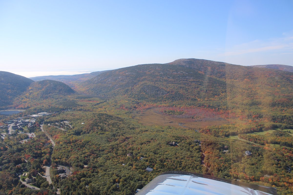
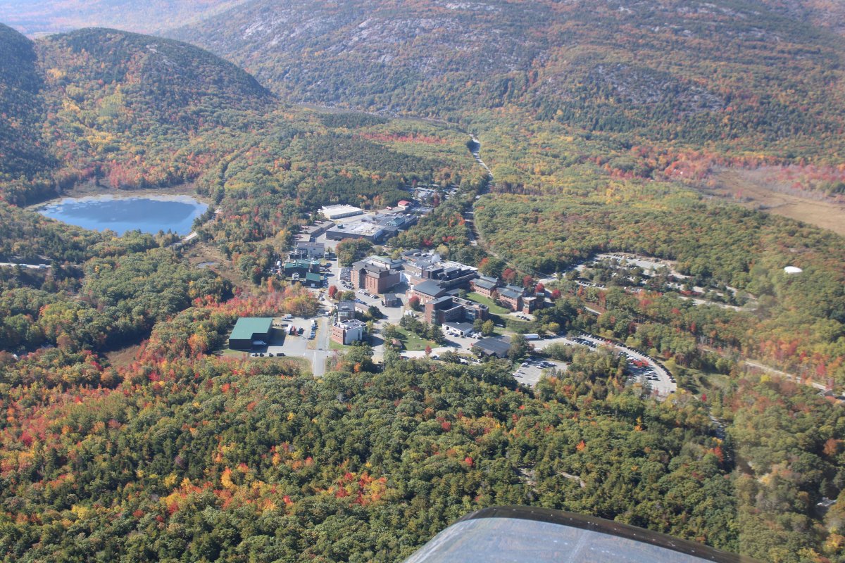
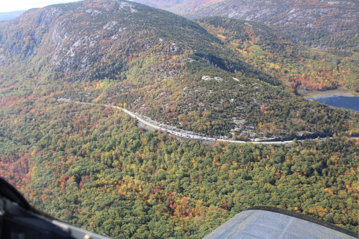
I headed south following Route 3 (Otter Creek Road) through a mountain pass. On the way I passed the Jackson Laboratory, below, which is a an independent, non-profit biomedical research institution.
|
| |
 |
|
| A bunch of cars stopped at a scenic overlook/trailhead on Otter Creek Road. Dorr Mountain is at upper left. |
| |
 |
|
|
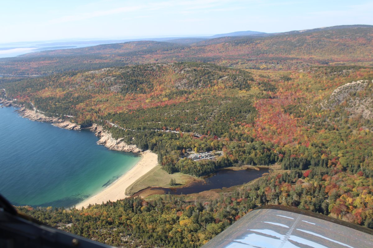
Heading south, looking down at Sand Beach.
|
| |
 |
|
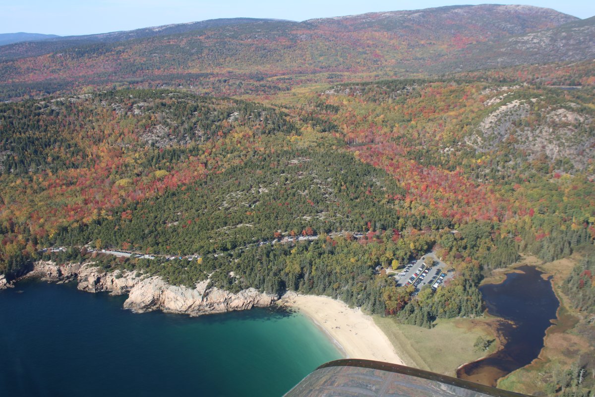
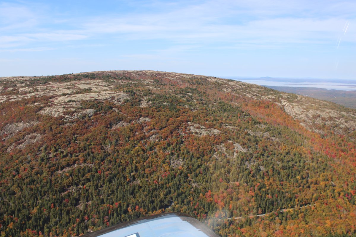
| Turning west. There is quite a bit of color now at Acadia. |
| |
 |
|
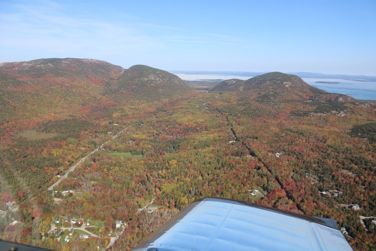
| Looking north at the pass I just flew thorugh. Cadillac Mountain is on the far left, a little higher than Dorr Mountain to its right. |
| |
 |
|
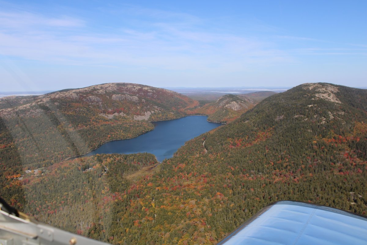
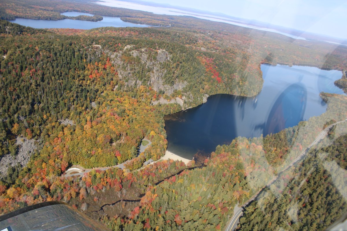
| Approaching Jordan Pond with Sargeant Peak on the left at Cadillac Mountain on the right. That little one at the north end of Jordan Pond is Bubble Rock. |
| |
 |
|
|
Sargeant Peak is very pretty as I fly by.
|
| |
 |
|
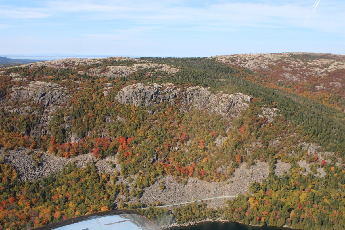
| Not too many trees at the top of Sargeant Peak. It's a giant rock. |
| |
 |
|
|
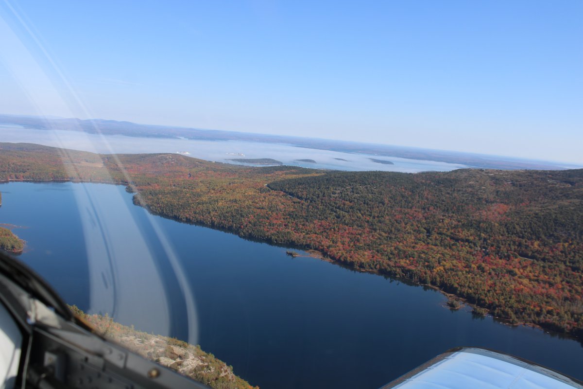
Continuing north, looking over Eagle Lake with Bar Harbor and the two cruise boats visible in the distance.
|
| |
 |
|
| Looking northwest at forest and Somes Sound. |
| |
 |
|
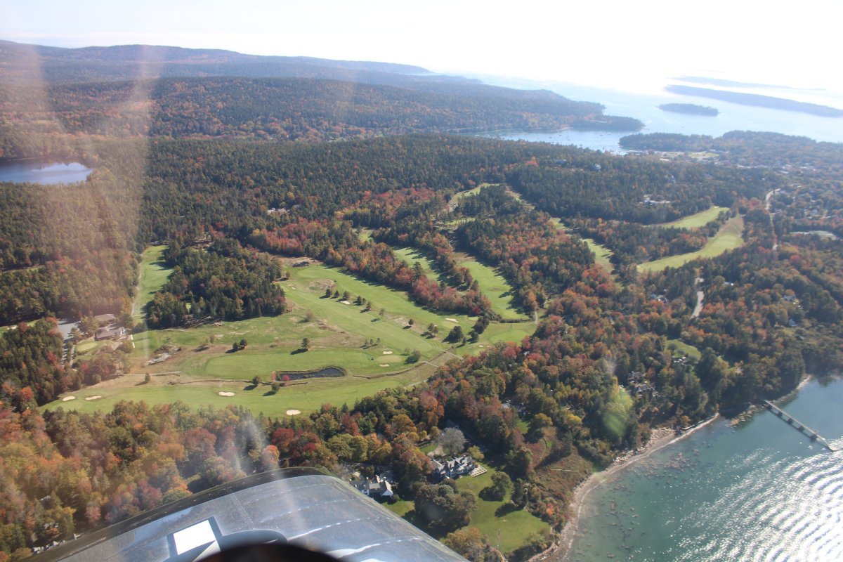
| Now heading south again, looking down at Northeast Harbor Golf Club. |
| |
 |
|
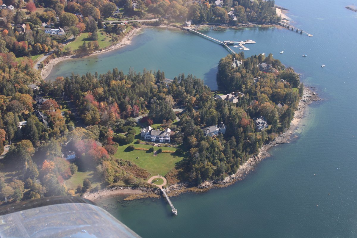
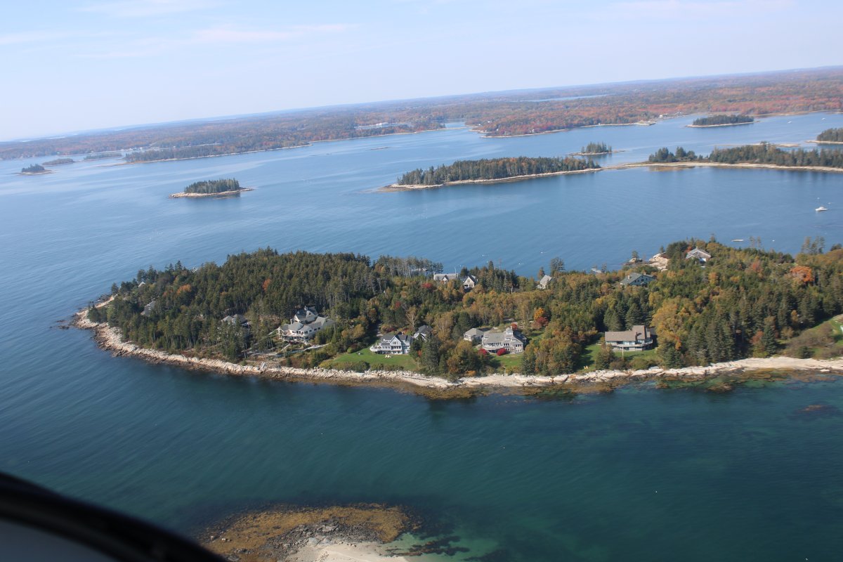
| Some very nice houses on Manchester Point, west of Northeast Harbor. I bet these homes cost a pretty penny! Talk about prime real estate. |
| |
 |
|
|
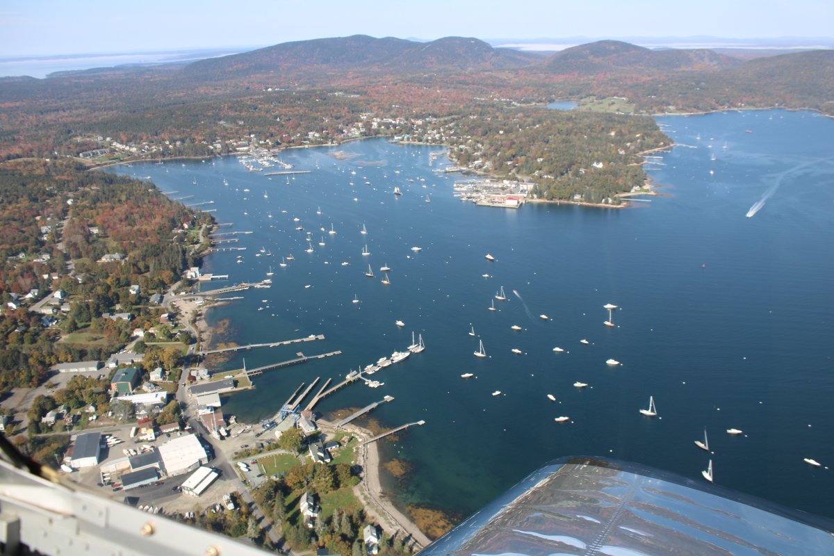
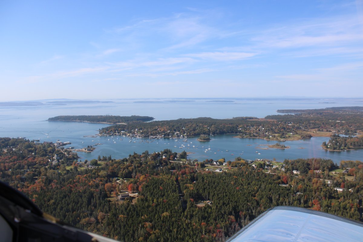
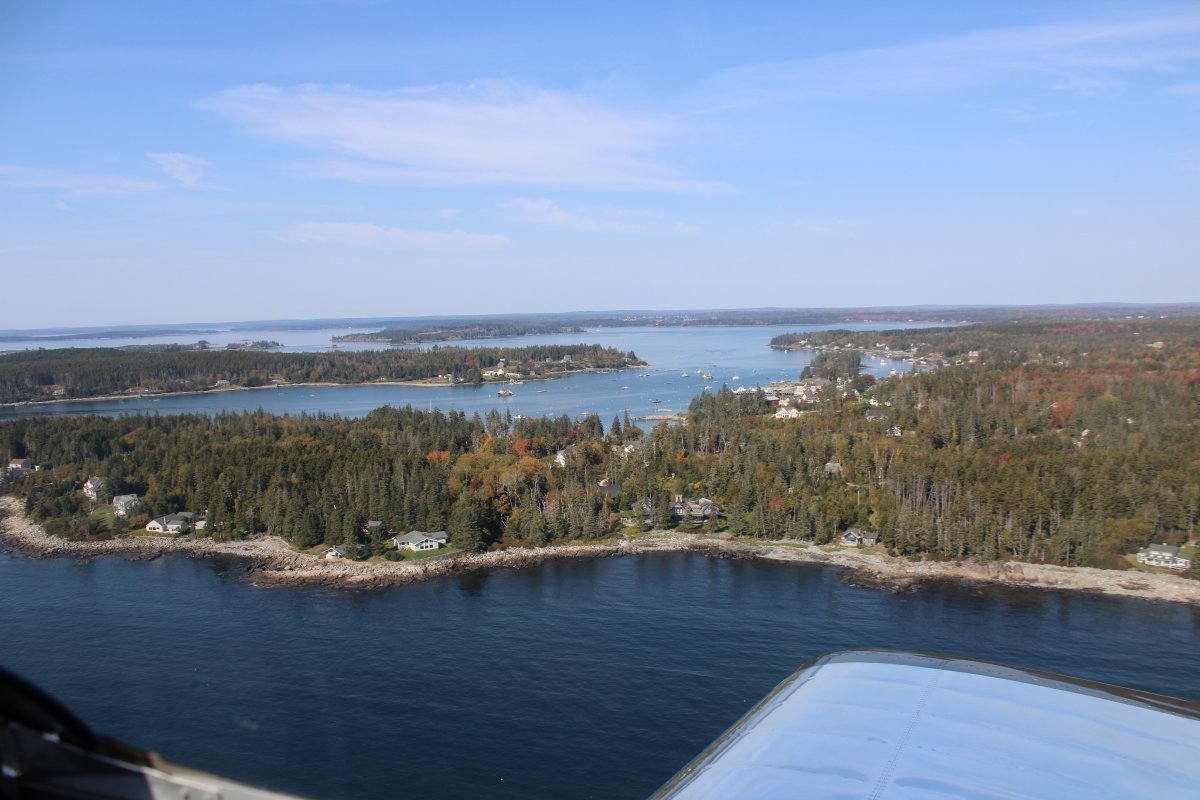
I turn west and check out the town of Southwest Harbor. Lots of boats.
|
| |
 |
|
| Heading north again with Echo Lake to the right and Long Pond at upper left. |
| |
 |
|
|
Now heading south into the Seal Cove area.
|
| |
 |
|
|
That was it for Mount Desert Island and Acadia NP. I turned southeast.
Now I'm checking out a public grass (more like dirt) strip called Banks Airport (ME5) on Swans Island.
|
| |
 |
|
|
Burnt Coat Harbor surrounded by Swans Island.
|
| |
 |
|
| Passing over Irish Point of Swans Island. |
| |
 |
|
|
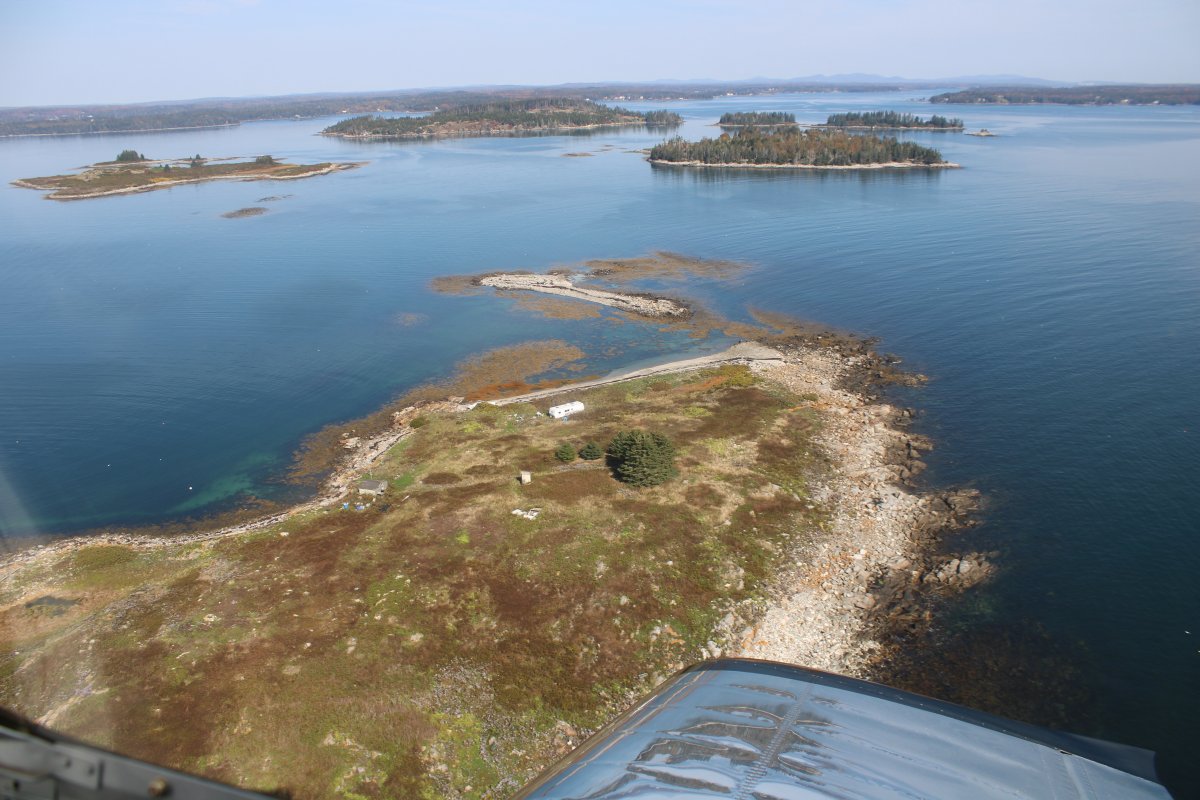
After crossing the large Jericho Bay, I approach Saddleback Island, the first of many.
|
| |
 |
|
| |
| |
 |
|
|
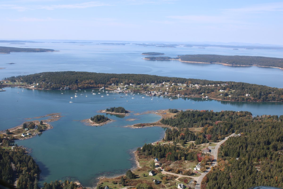
The town of Stonington on Deer Isle up ahead.
|
| |
 |
|
|
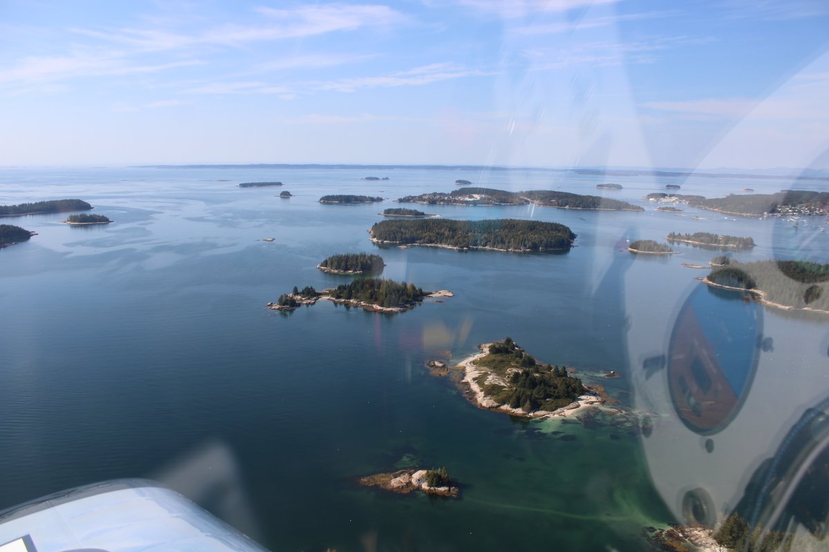
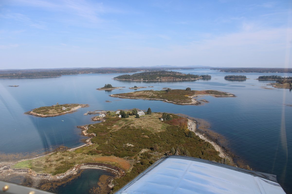
Even more islands southeast of Stonington.
|
| |
 |
|
| |
| |
 |
|
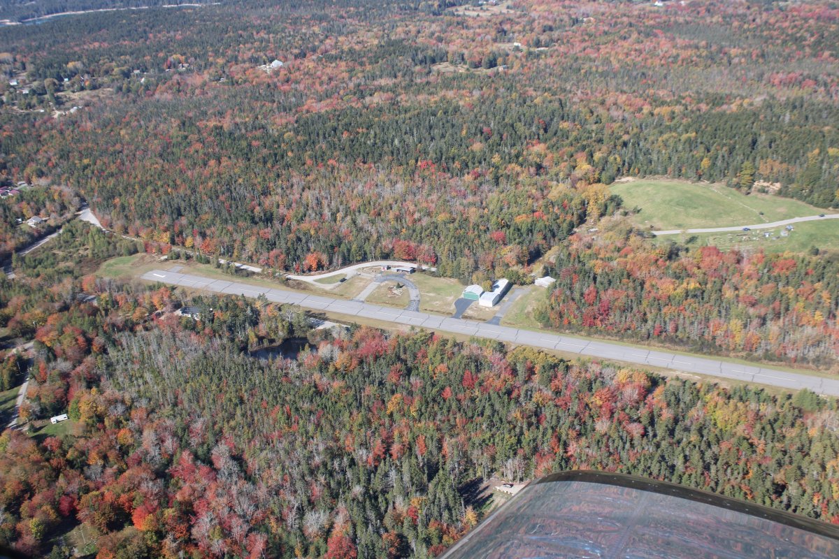
| Checking out Stonington Municiapal Airport (93B), northwest of town. No facilities. |
| |
 |
|
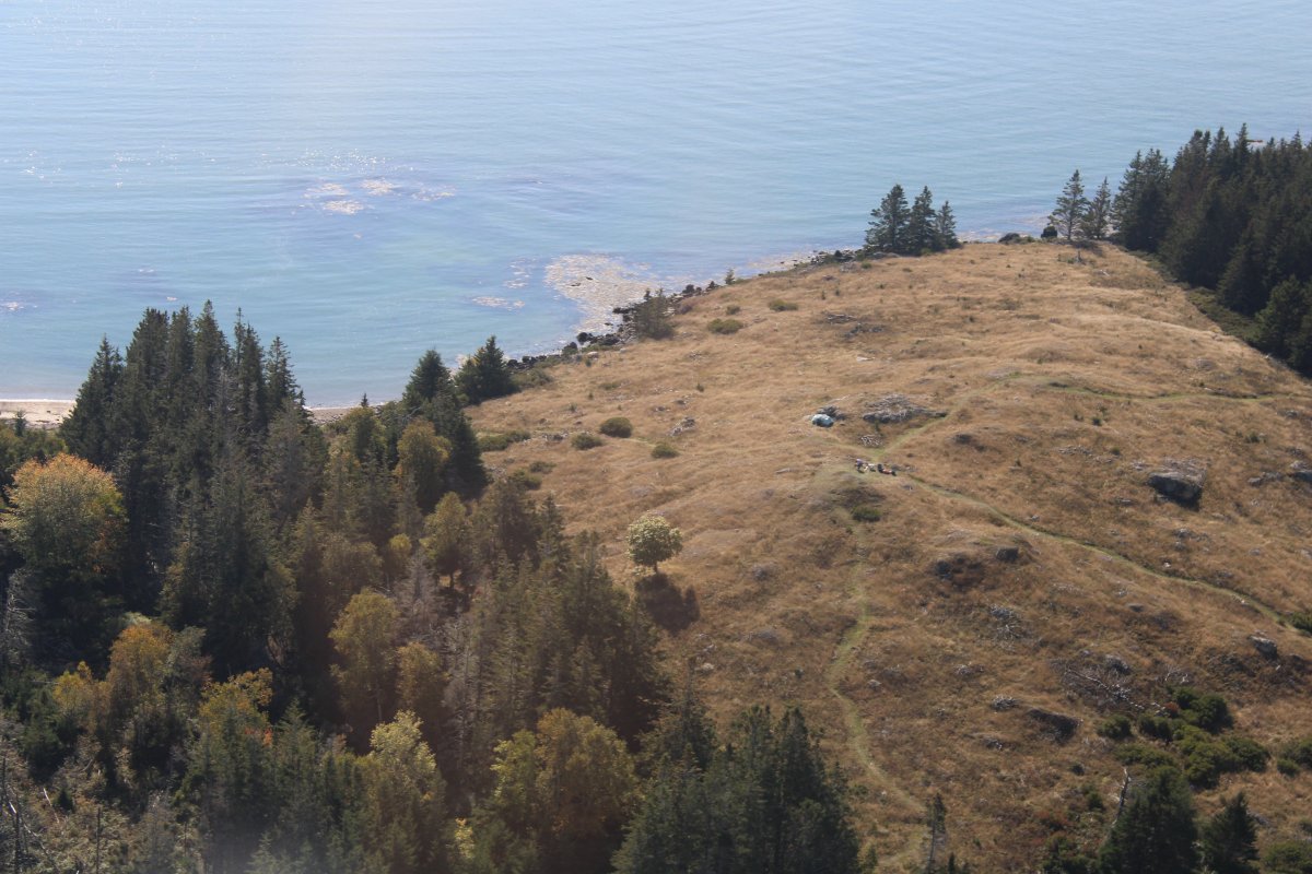
| A camper enjoying solititude on a hill overlooking the ocean. |
| |
 |
|
|
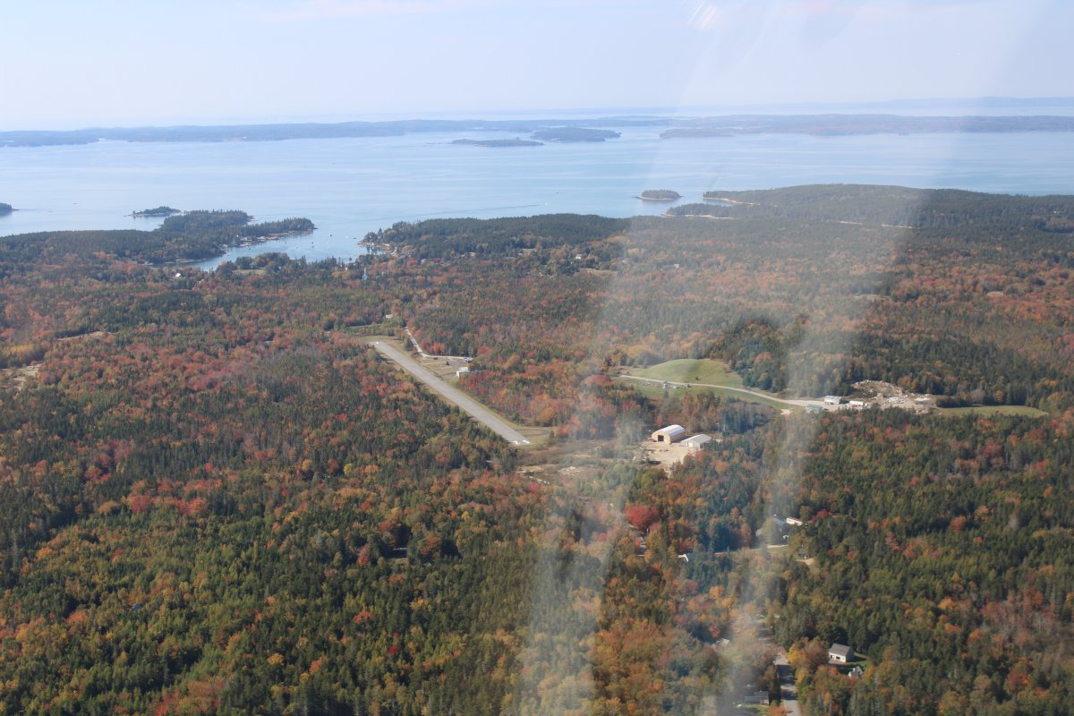
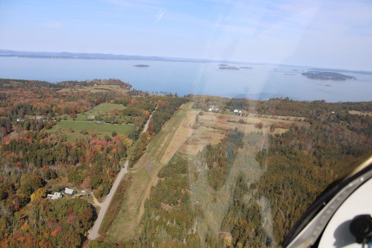
Watson Landing Strip on the island of North Haven. Not on the sectional chart but is on Google maps.
|
| |
 |
|
| I continued west across West Penobscot Bay to Knox County Regional Airport (KRKD), south of the town of Rockland. On the airport is the Owls Head Transportation Museum and has an excellent reputation; they even have a Fokker Triplane. I really need to land and check out this airport someday. But not today. |
| |
 |
|
|
I know began crossing an area of long, narrow peninsulas, rivers and bays. Almost like fjords without the cliffs. Impossible to fly the coast; you could spend all day doing it.
|
| |
 |
|
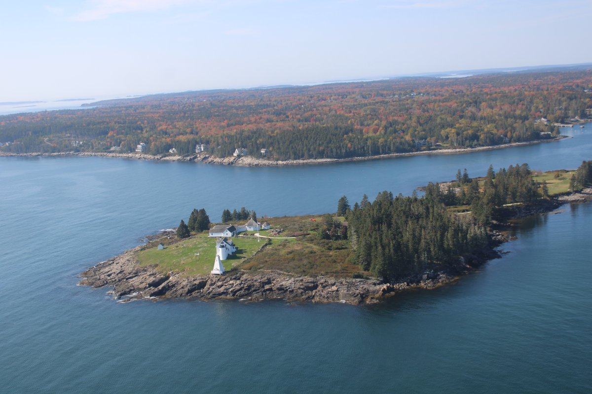
| Pasing by an antique lighthouse. |
| |
 |
|
| Some nice houses overlooking the ocean. |
| |
 |
|
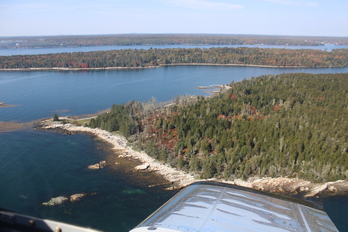
| Typical Maine scene. |
| |
 |
|
|
A guy living on an island in his single-wide.
|
| |
 |
|
| More island dwellers. |
| |
 |
|
|
|
| |
 |
|
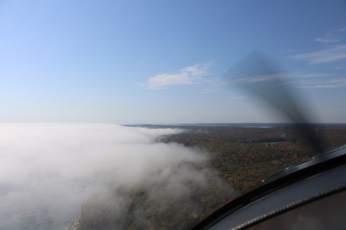
| The sea fog invading the land. |
| |
 |
|
| |
| |
 |
|
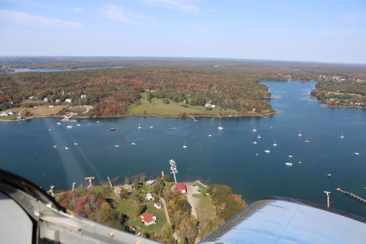
| Looking down at the South Bristol Bridge. |
| |
 |
|
|
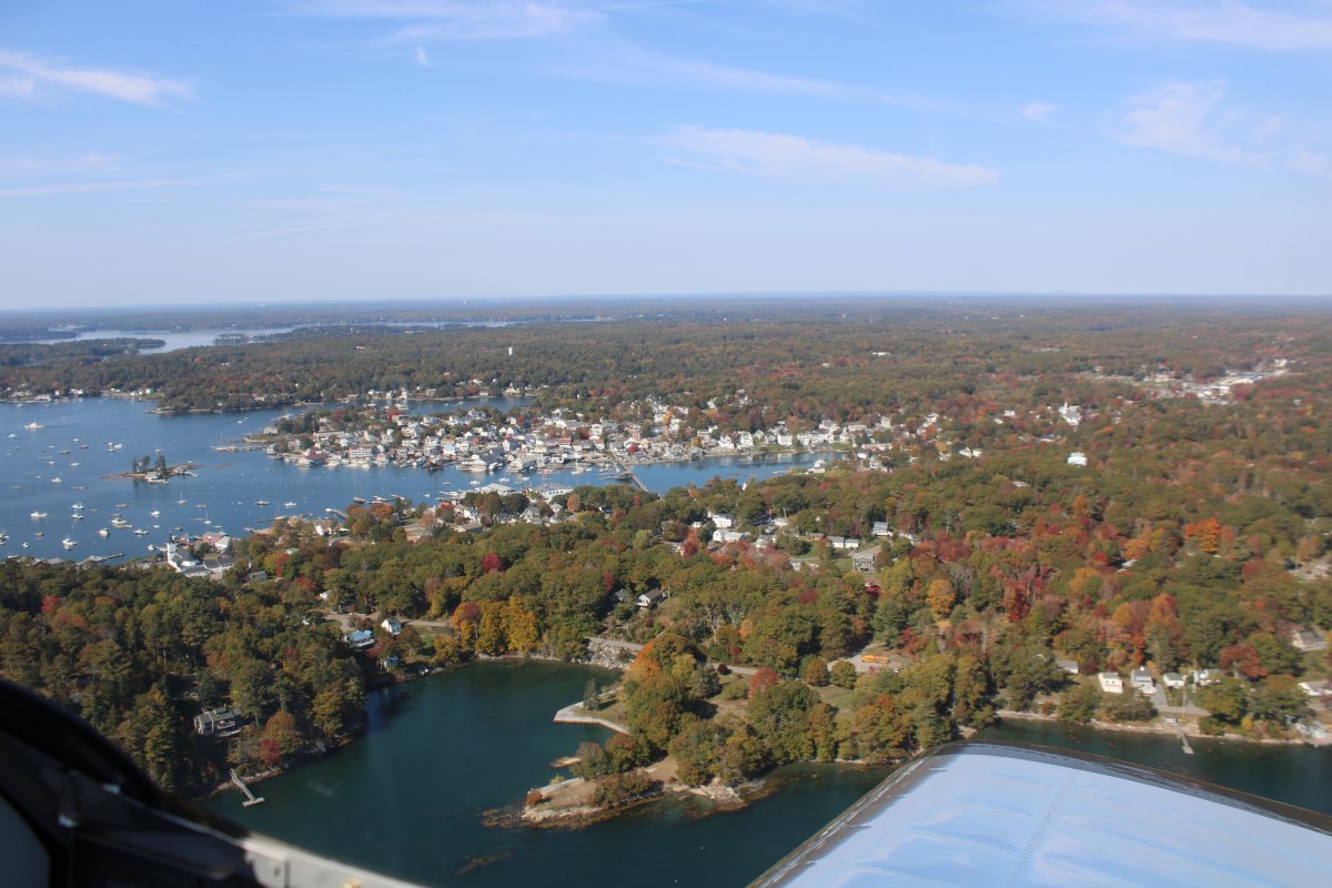
Approaching Boothbay Harbor.
|
| |
 |
|
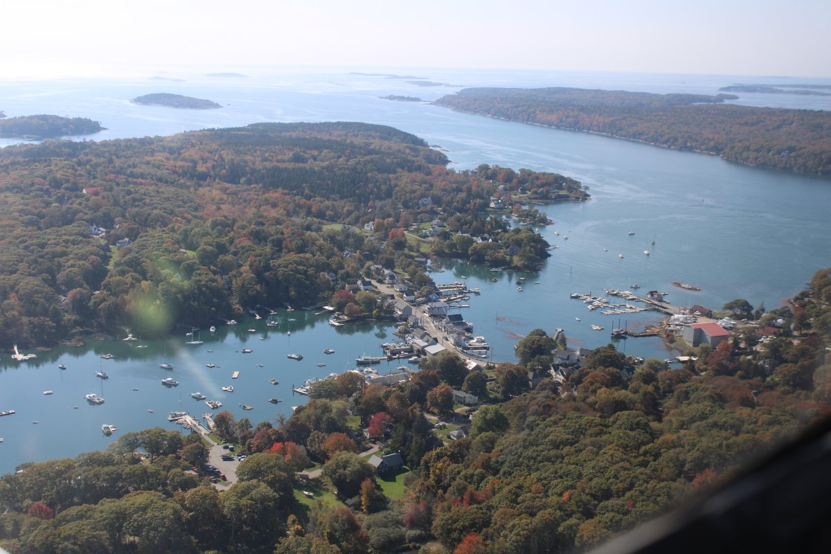
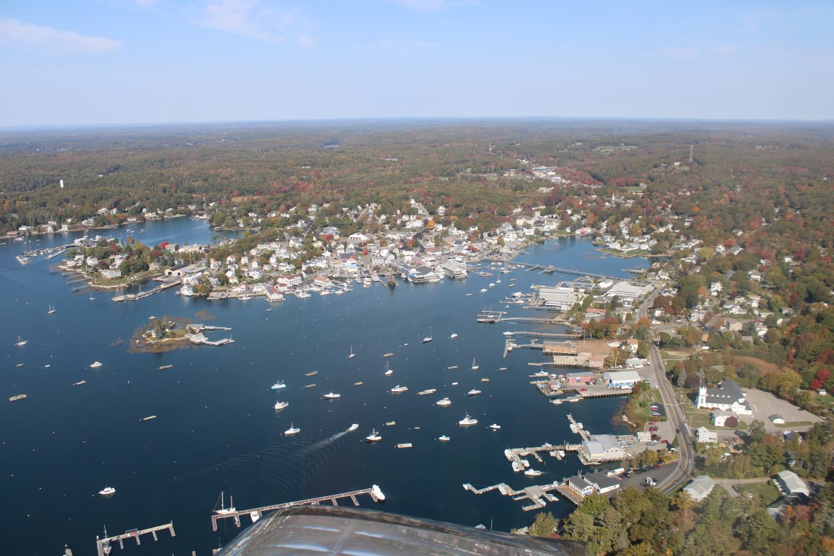
| A better look at Boothbay Harbor. One of those quaint, touristy towns. |
| |
 |
|
|
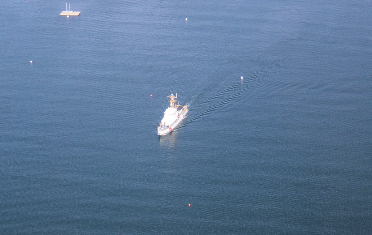
I was surprised to see this Coast Guard ship; haven't seen too many of these over the years.
|
| |
 |
|
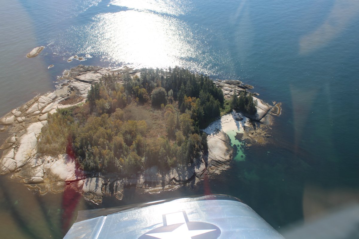
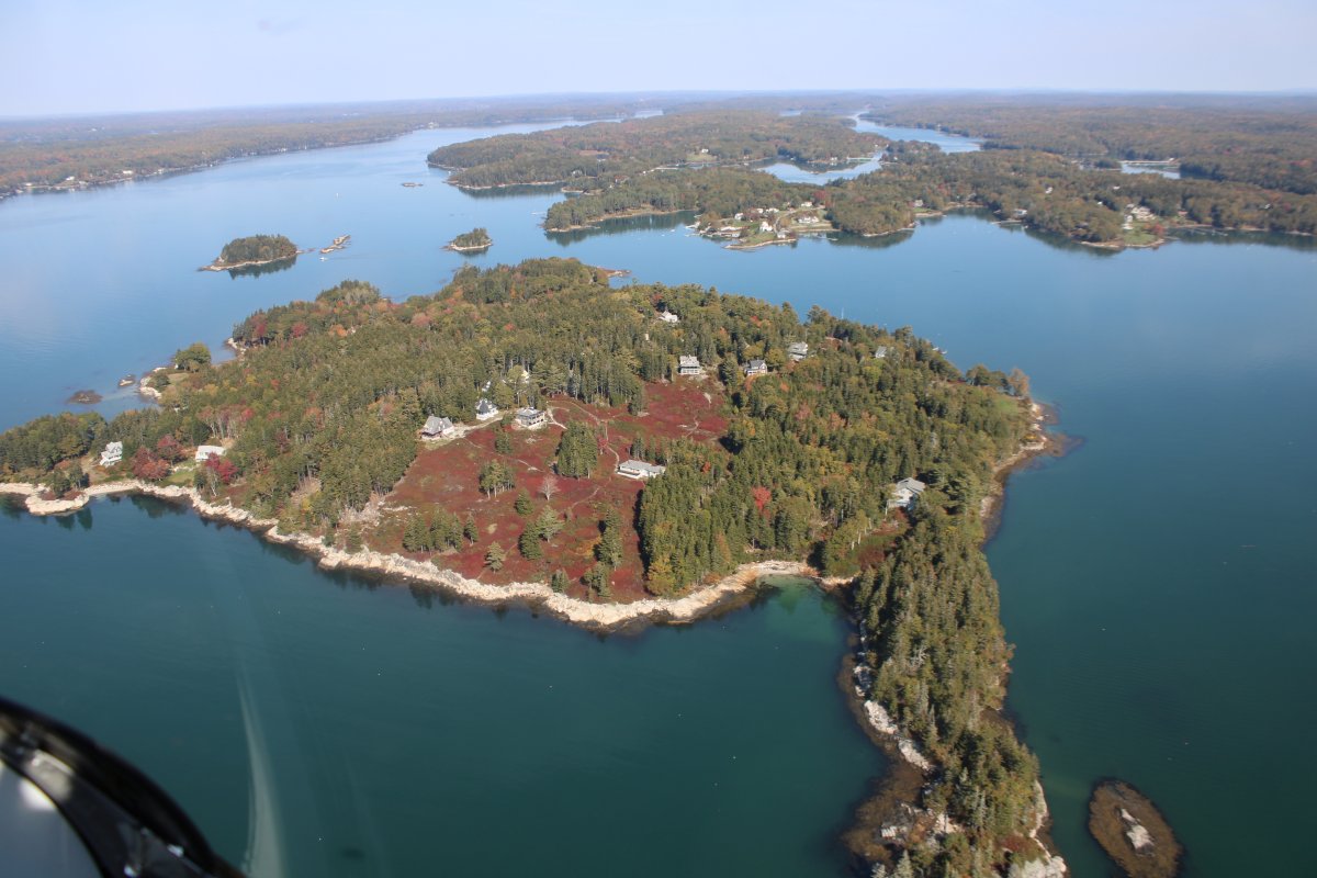
| Unusual red groundcover on this small island. |
| |
 |
|
|
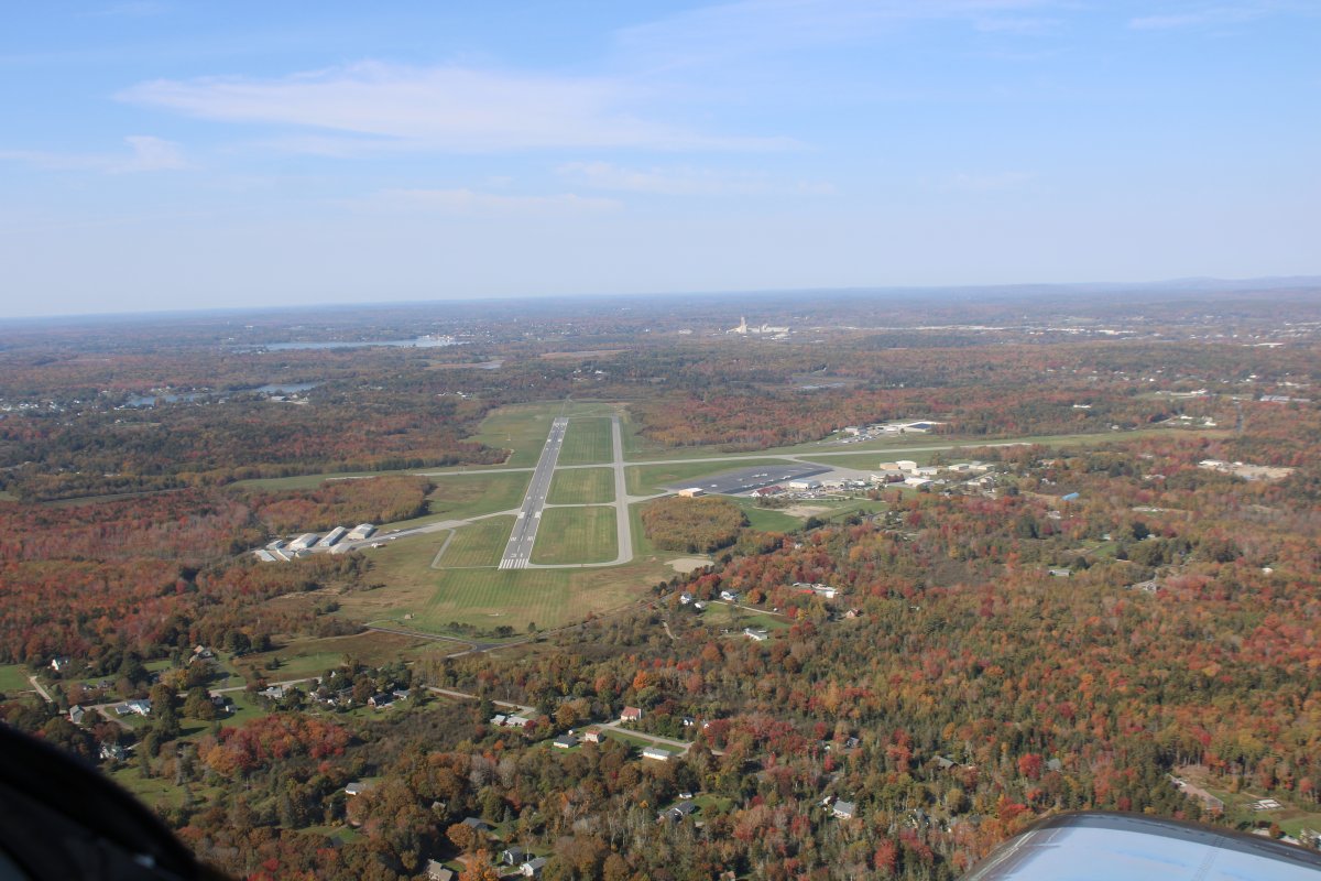
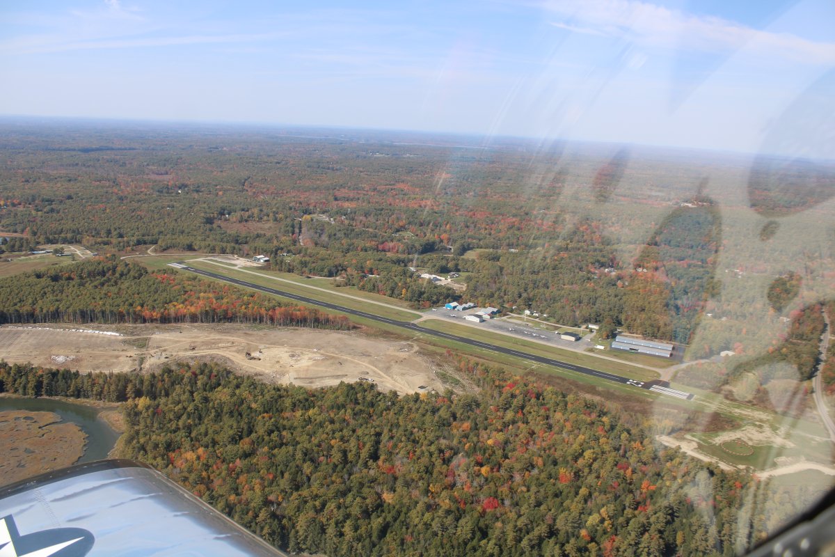
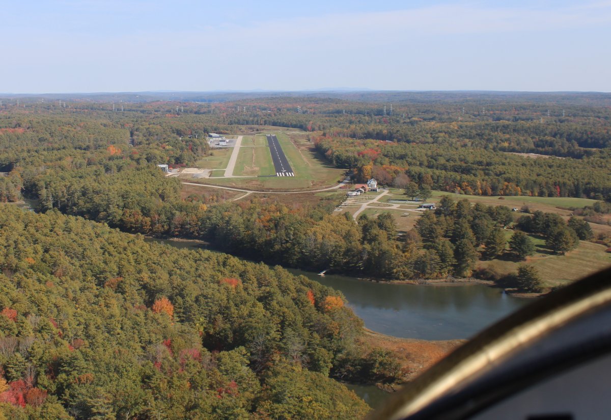
And then I was at my fuel-stop destination: Wiscasset Airport (KIWI). I've overnighted here a few times. Like the airport. And today they had an exceptionally low fuel price.
|
| |
 |
|
| On final for runway 7 at Wiscasset. Many years ago they had a reputation for some of the strongest crosswinds in the land. But not today. Winds were light and variable! No complaints from me. |
| |
 |
|
| |
| |
|
|
|
|
|
|